Approximate Location Map
Large Map »
Latitude: 51.997 / 51°59'49"N
Longitude: -0.3677 / 0°22'3"W
OS Eastings: 512160
OS Northings: 234426
OS Grid: TL121344
Mapcode National: GBR H55.PV8
Mapcode Global: VHFR2.K2YG
Plus Code: 9C3XXJWJ+QW
Entry Name: 19, Bury Road
Listing Date: 16 February 1998
Grade: II
Source: Historic England
Source ID: 1031601
English Heritage Legacy ID: 469069
ID on this website: 101031601
Location: Hillfoot End, Central Bedfordshire, SG5
County: Central Bedfordshire
Civil Parish: Shillington
Built-Up Area: Shillington
Traditional County: Bedfordshire
Lieutenancy Area (Ceremonial County): Bedfordshire
Church of England Parish: Shillington and Gravenhurst
Church of England Diocese: St.Albans
Tagged with: Building
TL1234 SHILLINGTON BURY ROAD
AND STONDON Hillfoot End
346/18/10007 No. 19
- II
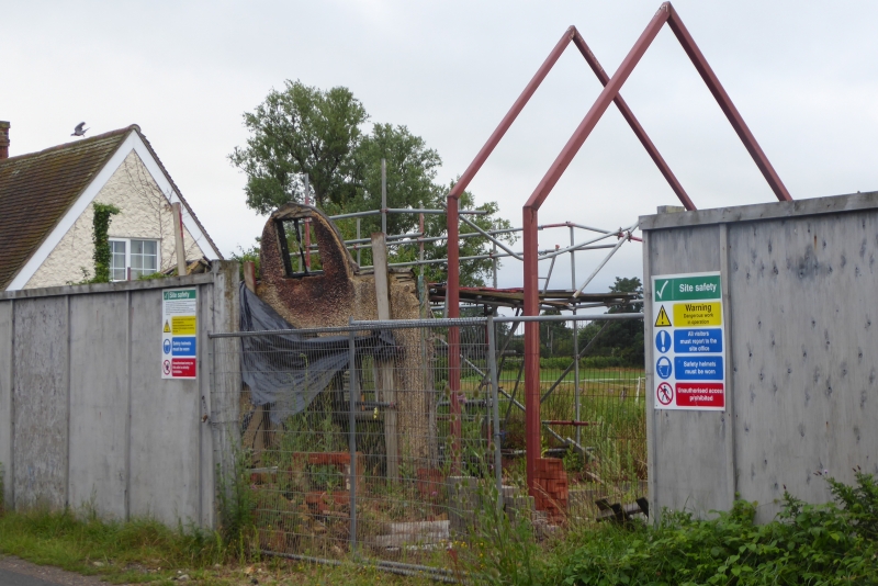
House, formerly a pair of cottages. c. 1830, with C20 alterations. Timber-frame construction, externally rendered with a dash finish. Steeply-pitched roof, formerly thatched, with eyebrow dormers, now with asbestos slate covering. Single chimney stack, expressed externally with widened base to shaft to each gable wall. Single storey with attics, 2 bays, originally 2, single cell cottages. FRONT (east) ELEVATION: each bay with a doorway and ground floor 2-light casement window beneath a plain drip mould. Plain ledged and planked doors with small light to upper part. Attic floor with former eyebrow dormers now re-shaped as wedge dormers, with small 2-light
casements set within semi-circular arch formed by vertical boarded dormer front. INTERIOR: single room to each floor, linked by a plain winder stair. Simple surround with mantel shelf to each ground-floor hearth. Exposed slender timber-framing in attic storey. HISTORY: at the time of the enclosure of Shillington (1817), the site of No. 19 Bury Road was undeveloped. Between 1801 and 1861, the population of the county doubled. The survival in relatively unaltered form of a dwelling built to accommodate rural workers, and which represents the final phase of the vernacular building traditions of an area is of special interest, as the level of survival of dwellings of this class and date is very poor nationally.
Listing NGR: TL1216034426
External links are from the relevant listing authority and, where applicable, Wikidata. Wikidata IDs may be related buildings as well as this specific building. If you want to add or update a link, you will need to do so by editing the Wikidata entry.


Other nearby listed buildings
