Approximate Location Map
Large Map »
Latitude: 52.6278 / 52°37'40"N
Longitude: -2.4864 / 2°29'11"W
OS Eastings: 367170
OS Northings: 303452
OS Grid: SJ671034
Mapcode National: GBR BW.7GLB
Mapcode Global: WH9DG.S65S
Plus Code: 9C4VJGH7+4C
Entry Name: 2, the Wharfage
Listing Date: 9 August 1974
Grade: II
Source: Historic England
Source ID: 1038671
English Heritage Legacy ID: 362226
ID on this website: 101038671
Location: Ironbridge, Telford and Wrekin, Shropshire, TF8
County: Telford and Wrekin
Civil Parish: The Gorge
Built-Up Area: Telford
Traditional County: Shropshire
Lieutenancy Area (Ceremonial County): Shropshire
Church of England Parish: Ironbridge
Church of England Diocese: Hereford
Tagged with: Building
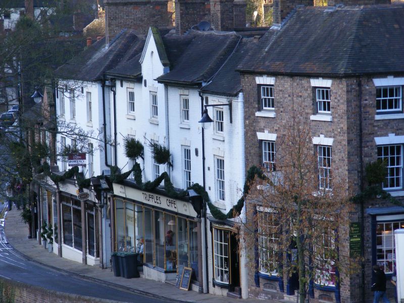
IRONBRIDGE THE WHARFAGE
1.
5362 (north side)
No 2
SJ 6703 SW 15/372 9.8.74
II GV
2.
Early C19. Painted brick; 3 storeys; sash window in broad frame with keyblock and
channelled lintel; shallow canted shop window to ground storey and doorway to right
with plain rectangular fanlight, all with fluted frieze and cornice; old tile roof.
Listing NGR: SJ6717003452
External links are from the relevant listing authority and, where applicable, Wikidata. Wikidata IDs may be related buildings as well as this specific building. If you want to add or update a link, you will need to do so by editing the Wikidata entry.


Other nearby listed buildings
