Approximate Location Map
Large Map »
Latitude: 51.7544 / 51°45'15"N
Longitude: -1.2507 / 1°15'2"W
OS Eastings: 451819
OS Northings: 206452
OS Grid: SP518064
Mapcode National: GBR 8YY.W2C
Mapcode Global: VHCXV.85NF
Plus Code: 9C3WQP3X+PP
Entry Name: Bastion 12 in New College
Listing Date: 12 January 1954
Grade: I
Source: Historic England
Source ID: 1046611
English Heritage Legacy ID: 245227
ID on this website: 101046611
Location: Oxford, Oxfordshire, OX1
County: Oxfordshire
District: Oxford
Electoral Ward/Division: Holywell
Parish: Non Civil Parish
Built-Up Area: Oxford
Traditional County: Oxfordshire
Lieutenancy Area (Ceremonial County): Oxfordshire
Church of England Parish: Oxford St Mary the Virgin with St Cross with St Peter-in-the-East,
Church of England Diocese: Oxford
Tagged with: Architectural structure
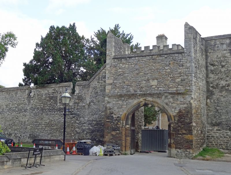
CITY WALL
1.
1485
In New College
Bastion 12
SP 5106 SE 9/238 12.1.54.
I
2.
Altered in C18.
Listing NGR: SP5181906452
External links are from the relevant listing authority and, where applicable, Wikidata. Wikidata IDs may be related buildings as well as this specific building. If you want to add or update a link, you will need to do so by editing the Wikidata entry.


Other nearby listed buildings
