Approximate Location Map
Large Map »
Latitude: 51.5178 / 51°31'4"N
Longitude: -1.5392 / 1°32'21"W
OS Eastings: 432066
OS Northings: 179979
OS Grid: SU320799
Mapcode National: GBR 6YT.TXF
Mapcode Global: VHC1D.83MR
Plus Code: 9C3WGF96+48
Entry Name: Barn to East of Saxon House Stables
Listing Date: 11 July 1983
Grade: II
Source: Historic England
Source ID: 1117341
English Heritage Legacy ID: 39481
ID on this website: 101117341
Location: Upper Lambourn, West Berkshire, RG17
County: West Berkshire
Civil Parish: Lambourn
Traditional County: Berkshire
Lieutenancy Area (Ceremonial County): Berkshire
Church of England Parish: Lambourn
Church of England Diocese: Oxford
Tagged with: Barn Thatched barn
SU 37NW LAMBOURN UPPER LAMBOURN
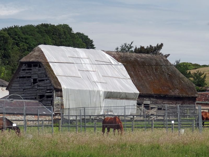
6/16 Barn to east of
Saxon House Stables
II
Barn. C18. Thatched roof, weatherboarded walls. Timber frame, 5 structural bays,
double purlins, Queen post and Queen strut, central entry.
Listing NGR: SU3206679979
External links are from the relevant listing authority and, where applicable, Wikidata. Wikidata IDs may be related buildings as well as this specific building. If you want to add or update a link, you will need to do so by editing the Wikidata entry.


Other nearby listed buildings
