Approximate Location Map
Large Map »
Latitude: 51.5448 / 51°32'41"N
Longitude: -2.2814 / 2°16'52"W
OS Eastings: 380585
OS Northings: 182919
OS Grid: ST805829
Mapcode National: GBR 0NP.01M
Mapcode Global: VH95W.DFSL
Plus Code: 9C3VGPV9+WF
Entry Name: Sundial, 20 Yards to the North of Pond Cottage
Listing Date: 10 November 1983
Grade: II
Source: Historic England
Source ID: 1129317
English Heritage Legacy ID: 34235
ID on this website: 101129317
Location: Badminton, South Gloucestershire, GL9
County: South Gloucestershire
Civil Parish: Badminton
Built-Up Area: Badminton
Traditional County: Gloucestershire
Lieutenancy Area (Ceremonial County): Gloucestershire
Church of England Parish: Badminton St Michael and All Angels
Church of England Diocese: Gloucester
Tagged with: Sundial
BADMINTON C.P. BADMINTON PARK
ST 8082
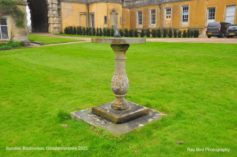
12/27 Sundial, 20 yards to the
north of Pond Cottage
G.V. II
Sundial. C18. Ashlar. Baluster stem on plinth, supporting a flat dial.
Listing NGR: ST8058582919
External links are from the relevant listing authority and, where applicable, Wikidata. Wikidata IDs may be related buildings as well as this specific building. If you want to add or update a link, you will need to do so by editing the Wikidata entry.


Other nearby listed buildings
