Approximate Location Map
Large Map »
Latitude: 54.5185 / 54°31'6"N
Longitude: -1.1945 / 1°11'40"W
OS Eastings: 452242
OS Northings: 513984
OS Grid: NZ522139
Mapcode National: GBR NJ36.61
Mapcode Global: WHD76.MPDF
Plus Code: 9C6WGR94+96
Entry Name: Barn, Horse-Mill, Stable and Cartshed, C.10M North-West of Bonny Grove Farmhouse
Listing Date: 28 July 1988
Grade: II
Source: Historic England
Source ID: 1139866
English Heritage Legacy ID: 59692
ID on this website: 101139866
Location: Middlesbrough, North Yorkshire, TS8
County: Middlesbrough
Electoral Ward/Division: Marton West
Parish: Non Civil Parish
Built-Up Area: Middlesbrough
Traditional County: Yorkshire
Lieutenancy Area (Ceremonial County): North Yorkshire
Church of England Parish: Nunthorpe St Mary the Virgin
Church of England Diocese: York
Tagged with: Barn
MIDDLESBROUGH BRASS CASTLE LANE,
NZ 51 SW (5213)
north side (off).
6/12 Barn, horse-mill,
stable and cart
shed, c.lOm
north-west of
Bonny Grove
Farmhouse.
G.V. II
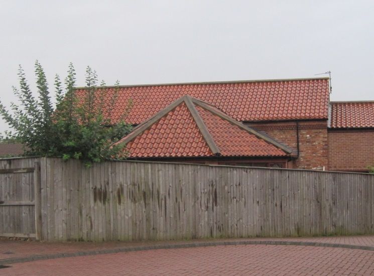
Barn and stable mid/late C18, upper parts of walls of barn rebuilt early/mid
C19. Early/mid C19 horse mill, and mid C19 cart shed. Brick; clay pantile
roofs. Barn has dressed sandstone plinth, and random sandstone rubble in
lower part of north gable end. L-plan range with horse mill adjoining east
face of barn. Barn has boarded double doors under timber lintel, in south
gable end; west wall has 2 doorways blocked with iron sheets.
Half-octagonal horse mill with hipped roof. 4 openings blocked early C20,
south opening with wood gate. Mill machinery missing. Lower stable
adjoining west face of barn, 2 stable doors left of hit-and-miss window, all
with gauged-brick flat arches. Cart shed adjoining west end of stable has
single wide opening with central iron pier under timber lintel. L-plan
stable range to north-west is not of special interest.
Listing NGR: NZ5224213984
External links are from the relevant listing authority and, where applicable, Wikidata. Wikidata IDs may be related buildings as well as this specific building. If you want to add or update a link, you will need to do so by editing the Wikidata entry.


Other nearby listed buildings
