Approximate Location Map
Large Map »
Latitude: 53.9615 / 53°57'41"N
Longitude: -2.0173 / 2°1'2"W
OS Eastings: 398964
OS Northings: 451714
OS Grid: SD989517
Mapcode National: GBR GQCM.2N
Mapcode Global: WHB77.ZPKD
Plus Code: 9C5VXX6M+J3
Entry Name: 60A, High Street
Listing Date: 2 March 1978
Grade: II
Source: Historic England
Source ID: 1157340
English Heritage Legacy ID: 323465
ID on this website: 101157340
Location: Skipton, North Yorkshire, BD23
County: North Yorkshire
District: Craven
Civil Parish: Skipton
Built-Up Area: Skipton
Traditional County: Yorkshire
Lieutenancy Area (Ceremonial County): North Yorkshire
Tagged with: Building
1.
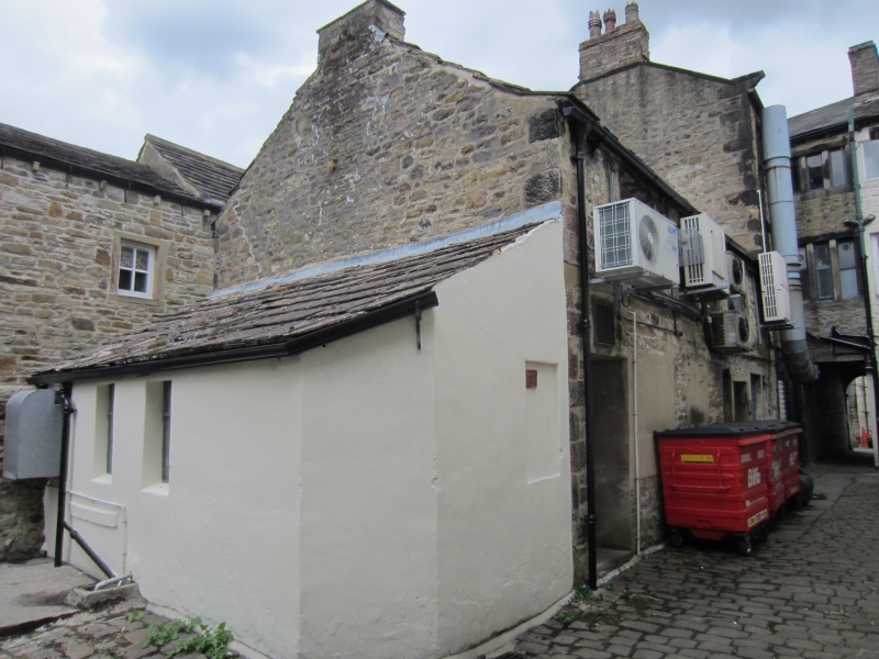
5336 HIGH STREET
(West Side)
No 60A
SD 9851 1/75
II GV
2.
Situated to the rear of No 60. Mid C18 stone building, with square-section stone
mullioned windows on upper 2 storeys above the entry to Hallam's Yard.
Listing NGR: SD9896451714
External links are from the relevant listing authority and, where applicable, Wikidata. Wikidata IDs may be related buildings as well as this specific building. If you want to add or update a link, you will need to do so by editing the Wikidata entry.


Other nearby listed buildings
