Approximate Location Map
Large Map »
Latitude: 51.8785 / 51°52'42"N
Longitude: -0.5638 / 0°33'49"W
OS Eastings: 498960
OS Northings: 220964
OS Grid: SP989209
Mapcode National: GBR F3T.29V
Mapcode Global: VHFRK.51TS
Plus Code: 9C3XVCHP+9F
Entry Name: Church Farmhouse
Listing Date: 26 September 1980
Grade: II
Source: Historic England
Source ID: 1159766
English Heritage Legacy ID: 36170
ID on this website: 101159766
Location: Church End, Central Bedfordshire, LU6
County: Central Bedfordshire
Civil Parish: Totternhoe
Built-Up Area: Totternhoe
Traditional County: Bedfordshire
Lieutenancy Area (Ceremonial County): Bedfordshire
Church of England Parish: Totternhoe
Church of England Diocese: St.Albans
Tagged with: Farmhouse
1.
5125 TOTTERNHOE CHURCH ROAD
(south-east side)
Church End
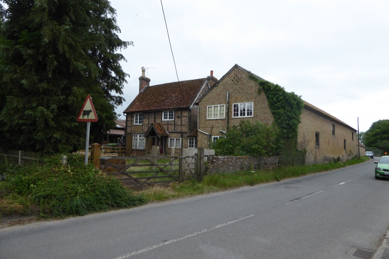
Church Farmhouse
SF 92 SE 36/388
II
2.
C16. Red brick ground floor, timber-framed first floor with red brick nogging.
Two storeys. Old clay tile roof. Two casement windows. Left hand ground
floor canted bay. Modern porch.
Listing NGR: SP9896020964
External links are from the relevant listing authority and, where applicable, Wikidata. Wikidata IDs may be related buildings as well as this specific building. If you want to add or update a link, you will need to do so by editing the Wikidata entry.


Other nearby listed buildings
