Approximate Location Map
Large Map »
Latitude: 52.6283 / 52°37'41"N
Longitude: -2.4842 / 2°29'3"W
OS Eastings: 367320
OS Northings: 303501
OS Grid: SJ673035
Mapcode National: GBR BW.7H3X
Mapcode Global: WH9DG.T66F
Plus Code: 9C4VJGH8+88
Entry Name: 12, Church Hill
Listing Date: 9 August 1974
Grade: II
Source: Historic England
Source ID: 1207428
English Heritage Legacy ID: 362145
ID on this website: 101207428
Location: Ironbridge, Telford and Wrekin, Shropshire, TF8
County: Telford and Wrekin
Civil Parish: The Gorge
Built-Up Area: Telford
Traditional County: Shropshire
Lieutenancy Area (Ceremonial County): Shropshire
Church of England Parish: Ironbridge
Church of England Diocese: Hereford
Tagged with: Building
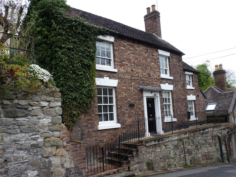
IRONBRIDGE CHURCH HILL
1.
5362 (north-east side)
No 12
SJ 6703 SW 15/285 9.8.74
II GV
2.
Early C19. Red brick; 2 storeys; 2 windows with keyblocks and channelled lintels,
now fitted with modern casements; plain wood doorcase with small hood and modern
door; plain eaves; tiles. One-window wing on right-hand side. Included for group
value.
Listing NGR: SJ6732003501
External links are from the relevant listing authority and, where applicable, Wikidata. Wikidata IDs may be related buildings as well as this specific building. If you want to add or update a link, you will need to do so by editing the Wikidata entry.


Other nearby listed buildings
