Approximate Location Map
Large Map »
Latitude: 51.8994 / 51°53'57"N
Longitude: -1.0681 / 1°4'5"W
OS Eastings: 464218
OS Northings: 222728
OS Grid: SP642227
Mapcode National: GBR 9YS.SXY
Mapcode Global: VHCX5.FJQ8
Plus Code: 9C3WVWXJ+QQ
Entry Name: Barn to West of Priory Farmhouse
Listing Date: 13 February 1984
Grade: II
Source: Historic England
Source ID: 1214665
English Heritage Legacy ID: 399558
ID on this website: 101214665
Location: Marsh Gibbon, Buckinghamshire, OX27
County: Buckinghamshire
Civil Parish: Marsh Gibbon
Built-Up Area: Marsh Gibbon
Traditional County: Buckinghamshire
Lieutenancy Area (Ceremonial County): Buckinghamshire
Church of England Parish: Marsh Gibbon
Church of England Diocese: Oxford
Tagged with: Barn
SP 6422 MARSH GIBBON TOWNSEND
(south side)
9/65 Barn to W. of
Priory Farmhouse
-
GV II
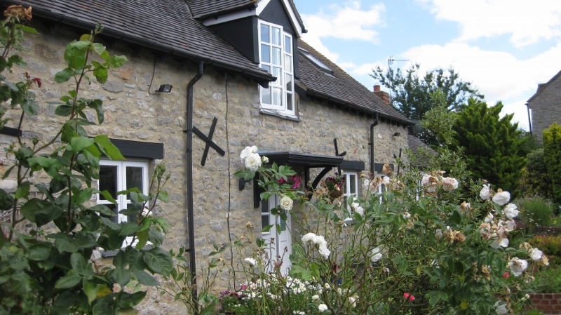
Barn. Late C18. Coursed rubble stone, tiled roof. 4 bays. Off-
centre waggon entry, ventilation slits. E. gable has cross window
and stable door. Modern trusses over original tie beams.
Listing NGR: SP6421822728
External links are from the relevant listing authority and, where applicable, Wikidata. Wikidata IDs may be related buildings as well as this specific building. If you want to add or update a link, you will need to do so by editing the Wikidata entry.


Other nearby listed buildings
