Approximate Location Map
Large Map »
Latitude: 50.9934 / 50°59'36"N
Longitude: -0.807 / 0°48'25"W
OS Eastings: 483824
OS Northings: 122232
OS Grid: SU838222
Mapcode National: GBR DDT.LTL
Mapcode Global: FRA 966H.7FB
Plus Code: 9C2XX5VV+96
Entry Name: The Keeper's Arms Public House
Listing Date: 26 November 1987
Grade: II
Source: Historic England
Source ID: 1221279
English Heritage Legacy ID: 413058
ID on this website: 101221279
Location: Trotton, Chichester, West Sussex, GU31
County: West Sussex
District: Chichester
Civil Parish: Trotton with Chithurst
Traditional County: Sussex
Lieutenancy Area (Ceremonial County): West Sussex
Church of England Parish: Trotton
Church of England Diocese: Chichester
SU 82 SW TROTTON WITH CHITHURST PETERSFIELD ROAD
10/12 The Keeper's Arms Public
- House
- II
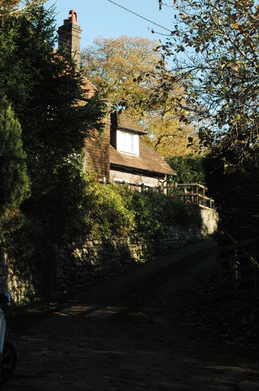
Public House. L-shaped building with an C18 exterior to a probably older building.
Stuccoed on stone rubble base. Tiled roof. Casement windows. 2 storeys. 3 windows.
Listing NGR: SU8382422232
External links are from the relevant listing authority and, where applicable, Wikidata. Wikidata IDs may be related buildings as well as this specific building. If you want to add or update a link, you will need to do so by editing the Wikidata entry.


Other nearby listed buildings
