Approximate Location Map
Large Map »
Latitude: 50.9949 / 50°59'41"N
Longitude: -0.8093 / 0°48'33"W
OS Eastings: 483654
OS Northings: 122393
OS Grid: SU836223
Mapcode National: GBR DDT.D7J
Mapcode Global: FRA 966H.0HZ
Plus Code: 9C2XX5VR+W7
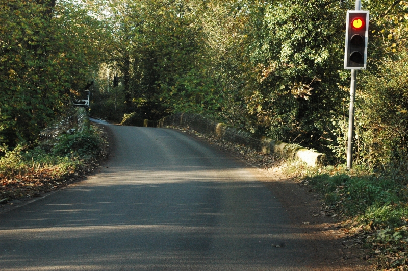
Entry Name: Trotton Bridge
Listing Date: 18 June 1959
Grade: I
Source: Historic England
Source ID: 1221337
English Heritage Legacy ID: 413060
ID on this website: 101221337
Location: Trotton, Chichester, West Sussex, GU31
County: West Sussex
District: Chichester
Civil Parish: Trotton with Chithurst
Traditional County: Sussex
Lieutenancy Area (Ceremonial County): West Sussex
Church of England Parish: Trotton
Church of England Diocese: Chichester
Tagged with: Road bridge
SU 82 SW TROTTON WITH CHITHURST PETERSFIELD ROAD
10/14 Trotton Bridge
18.6.59
- I
1600 circa. Hythe sandstone. 5 ribbed arches with chamfered edges. Massive cutwaters on south side with 2 offsets. Scheduled Ancient Monument.
Listing NGR: SU8365422393
External links are from the relevant listing authority and, where applicable, Wikidata. Wikidata IDs may be related buildings as well as this specific building. If you want to add or update a link, you will need to do so by editing the Wikidata entry.


Other nearby listed buildings
