Approximate Location Map
Large Map »
Latitude: 50.8441 / 50°50'38"N
Longitude: -0.6211 / 0°37'16"W
OS Eastings: 497176
OS Northings: 105861
OS Grid: SU971058
Mapcode National: GBR FJ3.ZR6
Mapcode Global: FRA 96LV.V62
Plus Code: 9C2XR9VH+JH
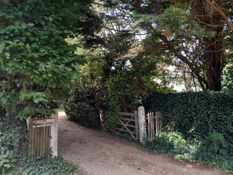
Entry Name: The Dower House
Listing Date: 20 September 1984
Grade: II
Source: Historic England
Source ID: 1222529
English Heritage Legacy ID: 414729
ID on this website: 101222529
Location: Walberton, Arun, West Sussex, BN18
County: West Sussex
District: Arun
Civil Parish: Walberton
Built-Up Area: Westergate
Traditional County: Sussex
Lieutenancy Area (Ceremonial County): West Sussex
Church of England Parish: Walberton
Church of England Diocese: Chichester
Tagged with: House
SU 90NE WALBERTON THE STREET
8/405 (south side)
The Dower House
II
C18. Two storeys and attic. Three windows. Three dormers. Stuccoed. Modillion
eaves cornice. Tiled roof. Glazing bars intact. Good doorway with fluted columns,
pediment, semi-circular blocked fanlight and door of six fielded panels. Later
addition to west.
Listing NGR: SU9717305861
External links are from the relevant listing authority and, where applicable, Wikidata. Wikidata IDs may be related buildings as well as this specific building. If you want to add or update a link, you will need to do so by editing the Wikidata entry.


Other nearby listed buildings
