Approximate Location Map
Large Map »
Latitude: 51.4988 / 51°29'55"N
Longitude: -0.2533 / 0°15'11"W
OS Eastings: 521342
OS Northings: 179206
OS Grid: TQ213792
Mapcode National: GBR 9M.6TR
Mapcode Global: VHGQX.KLGD
Plus Code: 9C3XFPXW+GM
Entry Name: 50 and 52, Woodstock Road W4
Listing Date: 2 February 1970
Grade: II
Source: Historic England
Source ID: 1240373
English Heritage Legacy ID: 438789
ID on this website: 101240373
Location: Bedford Park, Hounslow, London, W4
County: London
District: Hounslow
Electoral Ward/Division: Southfield
Parish: Non Civil Parish
Built-Up Area: Ealing
Traditional County: Middlesex
Lieutenancy Area (Ceremonial County): Greater London
Church of England Parish: St Michael and All Angels Bedford Park
Church of England Diocese: London
Tagged with: Building
1.
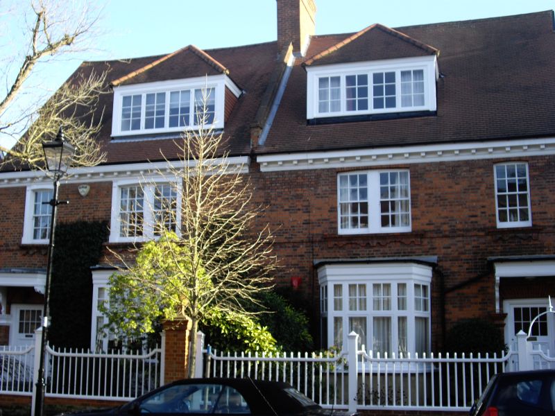
4419 WOODSTOCK ROAD W4
(Bedford Park)
Nos 50 & 52
TQ 2179 SW 5/14 2.2.70.
II
2.
A pair with modillion eaves cornice. Single-storey bays; flat door hoods.
Listing NGR: TQ2134279206
External links are from the relevant listing authority and, where applicable, Wikidata. Wikidata IDs may be related buildings as well as this specific building. If you want to add or update a link, you will need to do so by editing the Wikidata entry.


Other nearby listed buildings
