Approximate Location Map
Large Map »
Latitude: 51.1238 / 51°7'25"N
Longitude: -0.0075 / 0°0'26"W
OS Eastings: 539535
OS Northings: 137944
OS Grid: TQ395379
Mapcode National: GBR KLY.JWX
Mapcode Global: VHGSZ.T0DT
Plus Code: 9C3X4XFV+G2
Entry Name: 16, High Street
Listing Date: 2 August 1972
Grade: II
Source: Historic England
Source ID: 1248815
English Heritage Legacy ID: 430557
ID on this website: 101248815
Location: East Grinstead, Mid Sussex, RH19
County: West Sussex
District: Mid Sussex
Civil Parish: East Grinstead
Built-Up Area: East Grinstead
Traditional County: Sussex
Lieutenancy Area (Ceremonial County): West Sussex
Church of England Parish: East Grinstead St Swithun
Church of England Diocese: Chichester
Tagged with: Building
1.
1068 HIGH STREET
(South Side)
No 16
TQ 3957 1/27A
II
2.
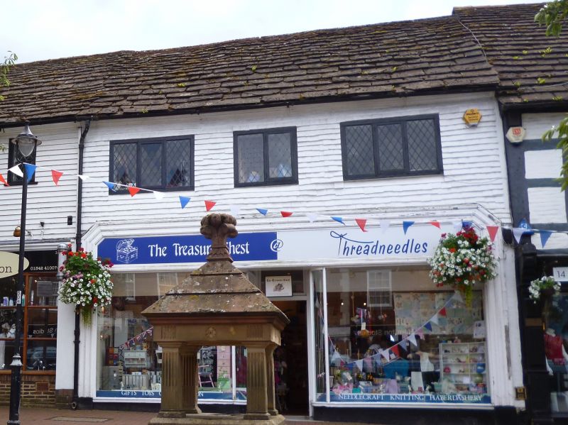
One storey over shop. Weather boarding painted white. Three late casement
windows. Horsham slab roof.
Listing NGR: TQ3953537942
External links are from the relevant listing authority and, where applicable, Wikidata. Wikidata IDs may be related buildings as well as this specific building. If you want to add or update a link, you will need to do so by editing the Wikidata entry.


Other nearby listed buildings
