Approximate Location Map
Large Map »
Latitude: 52.7103 / 52°42'37"N
Longitude: -2.751 / 2°45'3"W
OS Eastings: 349358
OS Northings: 312784
OS Grid: SJ493127
Mapcode National: GBR BJ.29DS
Mapcode Global: WH8BT.Q46J
Plus Code: 9C4VP66X+4H
Entry Name: Wall to the Old School House
Listing Date: 17 November 1995
Grade: II
Source: Historic England
Source ID: 1254873
English Heritage Legacy ID: 458183
ID on this website: 101254873
Location: Shrewsbury, Shropshire, SY1
County: Shropshire
Civil Parish: Shrewsbury
Built-Up Area: Shrewsbury
Traditional County: Shropshire
Lieutenancy Area (Ceremonial County): Shropshire
Church of England Parish: Shrewsbury St Chad
Church of England Diocese: Lichfield
Tagged with: Wall
SHREWSBURY
SJ4912NW SCHOOL GARDENS
653-1/11/605 (West side)
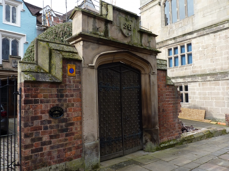
Wall to The Old School House
GV II
Length of wall and gateway. Early C19. Painted brick with
stone dressings. Wall with raking coping, stepped over
4-centred arched gateway.
Listing NGR: SJ4935812784
External links are from the relevant listing authority and, where applicable, Wikidata. Wikidata IDs may be related buildings as well as this specific building. If you want to add or update a link, you will need to do so by editing the Wikidata entry.


Other nearby listed buildings
