Approximate Location Map
Large Map »
Latitude: 53.9599 / 53°57'35"N
Longitude: -1.0855 / 1°5'7"W
OS Eastings: 460103
OS Northings: 451926
OS Grid: SE601519
Mapcode National: GBR NQVN.S6
Mapcode Global: WHFC3.9QCL
Plus Code: 9C5WXW57+XR
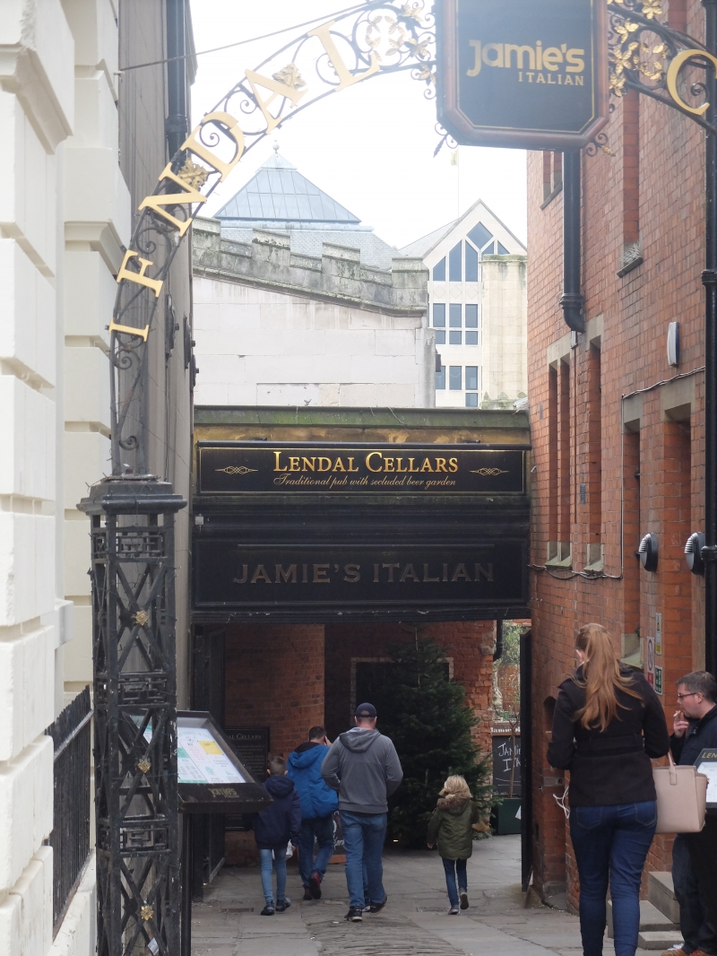
Entry Name: Number 26 and the Lendal Cellars Public House
Listing Date: 9 February 1988
Grade: II
Source: Historic England
Source ID: 1257472
English Heritage Legacy ID: 463821
ID on this website: 101257472
Location: York, North Yorkshire, YO1
County: York
Electoral Ward/Division: Guildhall
Parish: Non Civil Parish
Built-Up Area: York
Traditional County: Yorkshire
Lieutenancy Area (Ceremonial County): North Yorkshire
Church of England Parish: York St Helen Stonegate with St Martin Coney Street
Church of England Diocese: York
Tagged with: Pub
YORK
SE6051NW LENDAL
1112-1/28/553 (South West side)
09/02/88 No.26
and The Lendal Cellars Public House
GV II
Wine merchant's premises; now offices and public house. Early
C19 with later C19 extension, incorporating late C17 and mid
C18 cellars; altered C20. Red brick in stretcher bond, mostly
cement rendered; timber porch; cement-tiled roofs with brick
stacks. Building of 2 parallel ranges over 3 ranges of
cellars.
EXTERIOR: 1 storey with cellars; 2-bay front, left bay with
eaves band to hipped roof and iron corner scrolls, right bay
gabled. Left bay has stone steps up to doorway and tripartite
sash window with glazing bars to left. Right bay has flat
canopy porch over steps down to segment-arched cellar
entrance, and large C20 casement on ground floor.
INTERIOR: of cellars: three parallel ranges of segment-arched
brick vaults with groined intersections, first two with stone
flagged floors, third with brick floor. Third range retains
stone barrel thrawls and slate bin partitions. Wall between
second and third ranges raised on stone foundations, probably
vestigial remains of former Augustinian Friary occupying the
site from 1272-1538. The premises were subsequently occupied
by Messrs J and G Oldfield, Wine Merchants of York, from 1644.
(City of York: RCHME: The Central Area: HMSO: 1981-: 50).
Listing NGR: SE6010351926
External links are from the relevant listing authority and, where applicable, Wikidata. Wikidata IDs may be related buildings as well as this specific building. If you want to add or update a link, you will need to do so by editing the Wikidata entry.


Other nearby listed buildings
