Approximate Location Map
Large Map »
Latitude: 50.4311 / 50°25'51"N
Longitude: -3.6849 / 3°41'5"W
OS Eastings: 280427
OS Northings: 60384
OS Grid: SX804603
Mapcode National: GBR QM.T70L
Mapcode Global: FRA 375X.88J
Plus Code: 9C2RC8J8+C2
Entry Name: 2 Forecourt Piers of No 36
Listing Date: 16 March 1978
Grade: II
Source: Historic England
Source ID: 1264916
English Heritage Legacy ID: 426641
ID on this website: 101264916
Location: Totnes, South Hams, Devon, TQ9
County: Devon
District: South Hams
Civil Parish: Totnes
Built-Up Area: Totnes
Traditional County: Devon
Lieutenancy Area (Ceremonial County): Devon
Church of England Parish: Totnes St Mary
Church of England Diocese: Exeter
Tagged with: Building
1.
5180 FORE STREET
(South Side)
-----------
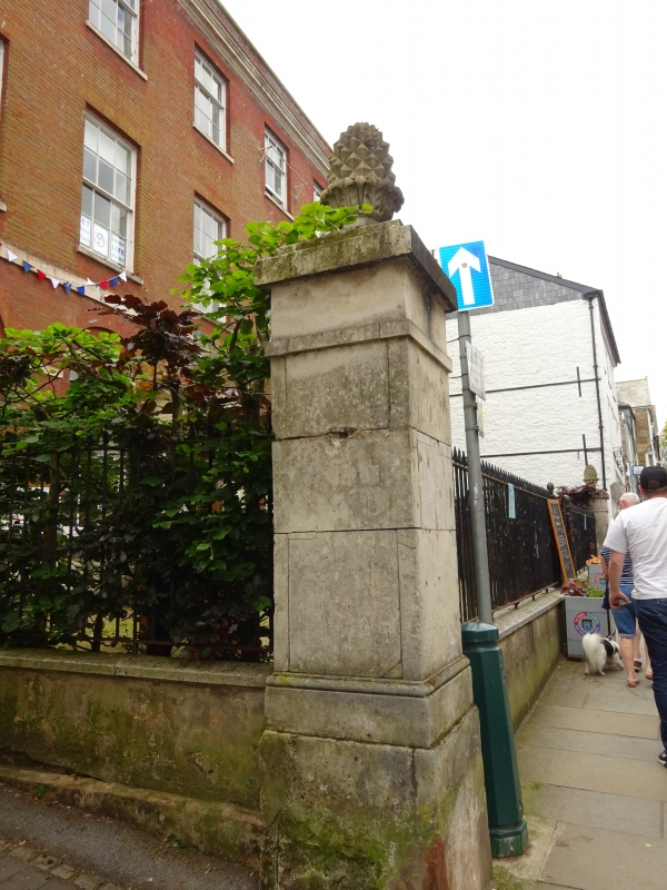
2 Forecourt Piers of
No 36
SX 8060 SW 2/27A
II
2.
Circa 1797. Square, stuccoed piers with caps surmounted by carved stone pineapples.
Listing NGR: SX8042760383
External links are from the relevant listing authority and, where applicable, Wikidata. Wikidata IDs may be related buildings as well as this specific building. If you want to add or update a link, you will need to do so by editing the Wikidata entry.


Other nearby listed buildings
