Approximate Location Map
Large Map »
Latitude: 50.8001 / 50°48'0"N
Longitude: -3.188 / 3°11'16"W
OS Eastings: 316375
OS Northings: 100734
OS Grid: ST163007
Mapcode National: GBR LX.YXVL
Mapcode Global: FRA 466Z.HT7
Plus Code: 9C2RRR26+2R
Entry Name: 91 and 91A, High Street
Listing Date: 21 March 1972
Grade: II
Source: Historic England
Source ID: 1319697
English Heritage Legacy ID: 442569
ID on this website: 101319697
Location: Honiton, East Devon, EX14
County: Devon
District: East Devon
Civil Parish: Honiton
Built-Up Area: Honiton
Traditional County: Devon
Lieutenancy Area (Ceremonial County): Devon
Church of England Parish: Honiton with Monkton
Church of England Diocese: Exeter
Tagged with: Building
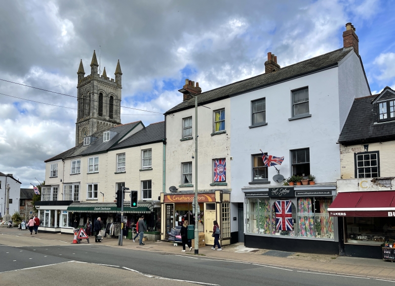
1. HIGH STREET
1228 (North Side)
Nos 91 and 91A
ST 1600 1/35
II GV
2.
Early C19, 3 storey plain stucco block, 4 sash windows at 1st and 2nd floors,
with glazing bars altered or missing. Entrances with fanlights. Shop window
inserted, right.
Nos 73 to 101 (odd) and Allhallows Chapel form a group.
Listing NGR: ST1637700734
External links are from the relevant listing authority and, where applicable, Wikidata. Wikidata IDs may be related buildings as well as this specific building. If you want to add or update a link, you will need to do so by editing the Wikidata entry.


Other nearby listed buildings
