Approximate Location Map
Large Map »
Latitude: 50.8 / 50°48'0"N
Longitude: -3.1872 / 3°11'13"W
OS Eastings: 316432
OS Northings: 100725
OS Grid: ST164007
Mapcode National: GBR LX.YY3D
Mapcode Global: FRA 466Z.J4F
Plus Code: 9C2RRR27+24
Entry Name: King's Arms
Listing Date: 21 March 1972
Grade: II
Source: Historic England
Source ID: 1319851
English Heritage Legacy ID: 442926
ID on this website: 101319851
Location: Honiton, East Devon, EX14
County: Devon
District: East Devon
Civil Parish: Honiton
Built-Up Area: Honiton
Traditional County: Devon
Lieutenancy Area (Ceremonial County): Devon
Church of England Parish: Honiton with Monkton
Church of England Diocese: Exeter
Tagged with: Pub
1. HIGH STREET
1228 (South Side)
No 56
(King's Arms)
ST 1600 1/61
II GV
2.
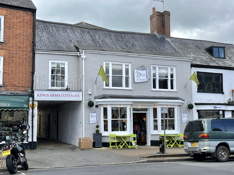
C18 with alterations, 2 storey, 3 3-light 1st floor casements with cambered
heads, central entrance, with splay bay each side, brick, limewashed steep
slate roof. Carriage way under, left, with flush frame sash window, st
1st floor, above, with glazing bars.
Nos 38 to 62 (even) form a group.
Listing NGR: ST1643200725
External links are from the relevant listing authority and, where applicable, Wikidata. Wikidata IDs may be related buildings as well as this specific building. If you want to add or update a link, you will need to do so by editing the Wikidata entry.


Other nearby listed buildings
