Approximate Location Map
Large Map »
Latitude: 54.6232 / 54°37'23"N
Longitude: -1.3013 / 1°18'4"W
OS Eastings: 445211
OS Northings: 525566
OS Grid: NZ452255
Mapcode National: GBR MGCZ.2H
Mapcode Global: WHD6R.Z2H3
Plus Code: 9C6WJMFX+7F
Entry Name: Farm Buildings to West and South of Number 1
Listing Date: 21 June 1985
Grade: II
Source: Historic England
Source ID: 1342721
English Heritage Legacy ID: 59540
ID on this website: 101342721
Location: Wolviston, Stockton-on-Tees, North Yorkshire, TS22
County: Stockton-on-Tees
Civil Parish: Wolviston
Built-Up Area: Wolviston
Traditional County: Durham
Lieutenancy Area (Ceremonial County): County Durham
Church of England Parish: Billingham
Church of England Diocese: Durham
Tagged with: Agricultural structure
NZ 4525 WOLVISTON LAX TERRACE
(West side)
18/449
Farm Buildings to West
and South of No 1
GV II
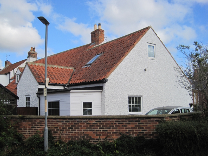
Early C19. Red brick with pantiled roofs. Range of buildings around a farmyard.
One-storey building attached to house. Two-storey barn to west. Further
one-storey ranges to west and north.
Listing NGR: NZ4521125566
External links are from the relevant listing authority and, where applicable, Wikidata. Wikidata IDs may be related buildings as well as this specific building. If you want to add or update a link, you will need to do so by editing the Wikidata entry.


Other nearby listed buildings
