Approximate Location Map
Large Map »
Latitude: 50.9094 / 50°54'33"N
Longitude: -0.533 / 0°31'58"W
OS Eastings: 503238
OS Northings: 113237
OS Grid: TQ032132
Mapcode National: GBR GJS.XRZ
Mapcode Global: FRA 96SP.S6P
Plus Code: 9C2XWF58+QR
Entry Name: The Stowe
Listing Date: 9 May 1980
Grade: II
Source: Historic England
Source ID: 1353950
English Heritage Legacy ID: 298250
ID on this website: 101353950
Location: Cross Gate, Horsham, West Sussex, BN18
County: West Sussex
District: Horsham
Civil Parish: Amberley
Built-Up Area: Amberley
Traditional County: Sussex
Lieutenancy Area (Ceremonial County): West Sussex
Church of England Parish: Amberley with North Stoke
Church of England Diocese: Chichester
Tagged with: Architectural structure
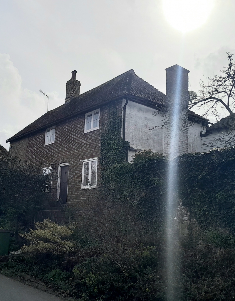
AMBERLEY EAST STREET
1. (south side)
5404
The Stowe
TQ 0313 21/652
II GV
2.
Early C19. Two storeys. Three windows. Red brick and grey headers alternately.
Tiled roof. Casement windows. Doorway up flight of steps.
Listing NGR: TQ0323813235
External links are from the relevant listing authority and, where applicable, Wikidata. Wikidata IDs may be related buildings as well as this specific building. If you want to add or update a link, you will need to do so by editing the Wikidata entry.


Other nearby listed buildings
