Approximate Location Map
Large Map »
Latitude: 50.9566 / 50°57'23"N
Longitude: -0.5633 / 0°33'47"W
OS Eastings: 501003
OS Northings: 118450
OS Grid: TQ010184
Mapcode National: GBR FGV.VTH
Mapcode Global: FRA 96QL.0CL
Plus Code: 9C2XXC4P+MM
Entry Name: Lower Street House
Listing Date: 22 February 1955
Grade: II
Source: Historic England
Source ID: 1354422
English Heritage Legacy ID: 300512
ID on this website: 101354422
Location: Lower Fittleworth, Chichester, West Sussex, RH20
County: West Sussex
District: Chichester
Civil Parish: Fittleworth
Built-Up Area: Fittleworth
Traditional County: Sussex
Lieutenancy Area (Ceremonial County): West Sussex
Church of England Parish: Fittleworth St Mary Virgin
Church of England Diocese: Chichester
Tagged with: House
TQ 0118
28/210
FITTLEWORTH
LOWER STREET
Lower Street House
II
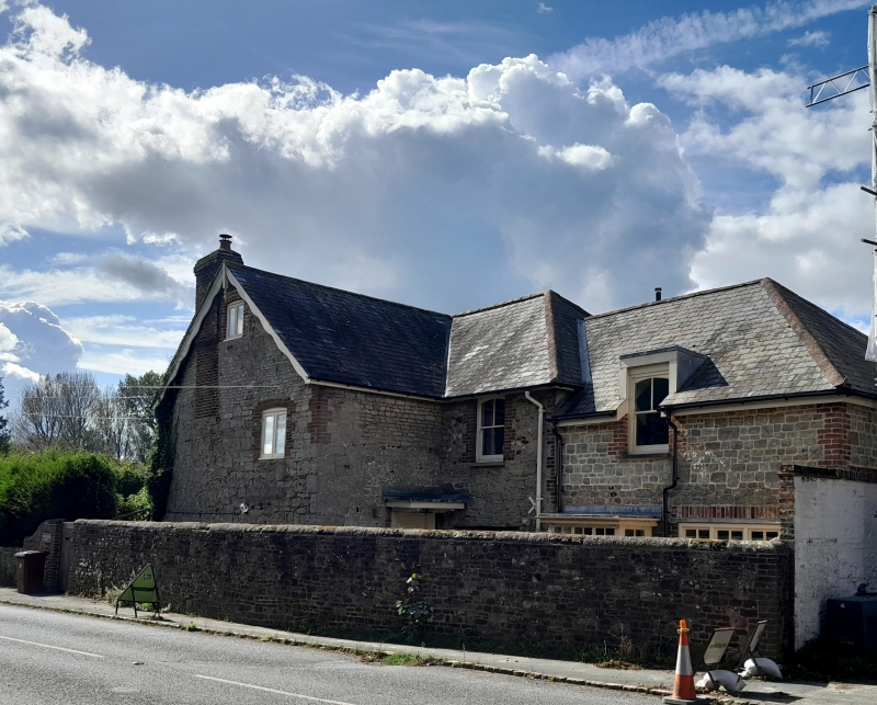
House. L-shaped building. Early C19, altered. Two storeys. Two windows. Coursed
stone with red brick dressings and quoins. Tiled roof. Modern casement windows.
Listing NGR: TQ0100318450
External links are from the relevant listing authority and, where applicable, Wikidata. Wikidata IDs may be related buildings as well as this specific building. If you want to add or update a link, you will need to do so by editing the Wikidata entry.


Other nearby listed buildings
