Approximate Location Map
Large Map »
Latitude: 54.9818 / 54°58'54"N
Longitude: -3.626 / 3°37'33"W
OS Eastings: 296038
OS Northings: 566457
OS Grid: NX960664
Mapcode National: GBR 3B3T.SY
Mapcode Global: WH5X3.81KP
Plus Code: 9C6RX9JF+PH
Entry Name: Walled Garden, Shambellie House, New Abbey
Listing Name: Shambellie House Walled Garden
Listing Date: 26 June 1986
Category: C
Source: Historic Scotland
Source ID: 351227
Historic Scotland Designation Reference: LB17331
Building Class: Cultural
ID on this website: 200351227
Location: New Abbey
County: Dumfries and Galloway
Electoral Ward: Abbey
Parish: New Abbey
Traditional County: Kirkcudbrightshire
Tagged with: Walled garden
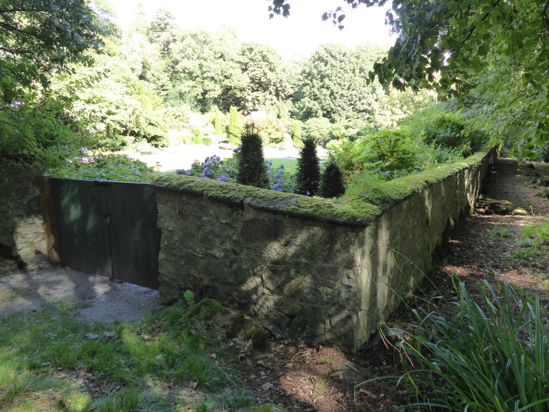
Probably circa 1860. Walled quadrangular garden with later
glasshouse at north, shed (?former boiler house) to north
east. Walls built mostly of white granite rubble with red
ashlar coping, and swept up at north.
External links are from the relevant listing authority and, where applicable, Wikidata. Wikidata IDs may be related buildings as well as this specific building. If you want to add or update a link, you will need to do so by editing the Wikidata entry.


Other nearby listed buildings
