Approximate Location Map
Large Map »
Latitude: 55.8 / 55°47'59"N
Longitude: -4.0256 / 4°1'32"W
OS Eastings: 273117
OS Northings: 658153
OS Grid: NS731581
Mapcode National: GBR 01BC.8Q
Mapcode Global: WH4QQ.4H91
Plus Code: 9C7QQXXF+XP
Entry Name: Orbiston House, Bothwellhaugh Plantion
Listing Name: Ruin of Castle, Orbiston
Listing Date: 24 October 1978
Category: C
Source: Historic Scotland
Source ID: 391167
Historic Scotland Designation Reference: LB44575
Building Class: Cultural
Also known as: Douglas Park
ID on this website: 200391167
Location: Bothwell
County: North Lanarkshire
Electoral Ward: Bellshill
Parish: Bothwell
Traditional County: Lanarkshire
Tagged with: Tower house
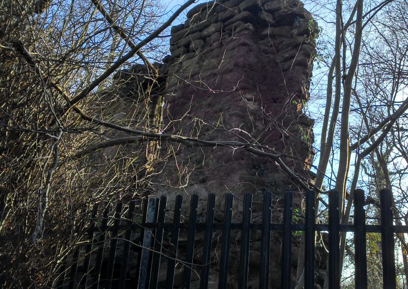
Possibly 17th century. Only one wall remains with ground floor vault.
Scheduled Monument
External links are from the relevant listing authority and, where applicable, Wikidata. Wikidata IDs may be related buildings as well as this specific building. If you want to add or update a link, you will need to do so by editing the Wikidata entry.


Other nearby listed buildings
