Approximate Location Map
Large Map »
Latitude: 51.7959 / 51°47'45"N
Longitude: -3.175 / 3°10'30"W
OS Eastings: 319062
OS Northings: 211463
OS Grid: SO190114
Mapcode National: GBR YZ.Y12G
Mapcode Global: VH6CV.X4B2
Plus Code: 9C3RQRWF+9X
Entry Name: Former Boiler House at Dunlop Semtex Factory
Listing Date: 8 May 1986
Last Amended: 9 August 1999
Grade: II*
Source: Cadw
Source ID: 1869
Building Class: Industrial
ID on this website: 300001869
Location: Prominently sited on the E side of the A467 on the S edge of Brynmawr, opposite main Dunlop Semtex factory complex (separately listed within Nantyglo and Blaina Community).
County: Blaenau Gwent
Community: Brynmawr (Bryn-mawr)
Community: Brynmawr
Built-Up Area: Brynmawr
Traditional County: Monmouthshire
Tagged with: Boiler house
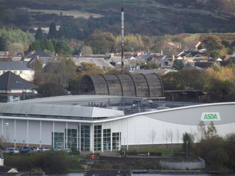
Built 1946-8. Designed for Brynmawr Rubber Ltd by the Architects’ Co-operative Partnership, in conjunction with the structural engineers Ove Arup and Partners. The factory was initiated by Lord Forrester, director of Brimsdown Rubber Company, who aimed to provide large-scale employment in the economically depressed Valleys. The structural ingenuity of the factory was renowned, particularly the use of thin-shell concrete vaults and domes, covering a vast open production area. The factory was built 1946-53 to convert raw rubber into a variety of manufactured goods, including floor tiles, shoe soles, and industrial products. The cost of building was £800,000, the contractors being Holland, Hannen and Cubitt of London. Taken over by Dunlop Semtex in 1956, who made synthetic flooring for hospitals and public buildings. Cheaper manufactured goods and improvements in industrial floor coverings led to the closure of the factory in 1982.
Reinforced concrete construction with precast concrete panels; glazed and brickwork walling. High parabolic vaulted rectangle with two-storey gable end to road. Transverse arched ribs with panel infill, top floor jettied over continuous clerestory glazing to ground floor.
Diamond-lattice glazing over ribbed infill panels to outer gable lunette. Four large glazed openings with raised surrounds to S side elevation. Inner gable with elevated concrete railway viaduct to first floor loading doors; wide segmental arches on slender piers support ribbed cantilevered deck for railway with adjoining Y-spur (remarkable metal spiral staircase removed).
Interior of upper floor retains longitudinal concrete walls for trackway fed by gravity-feed coal bunkers. Ground floor concrete ceiling incorporates inclined feeds to central hoppers to serve boilers (now removed). Rectangular supports to ceiling and to rear openings under clerestory into single-storey extension with circular top-lighting and base of metal flue.
Listed as part of a renowned and constructionally pioneering industrial complex, the first work to be designed by the prolific Architects’ Co-partnership, in conjunction with one of Britain’s leading structural engineers, Sir Ove Arup.
Disused at the time of inspection and external metalwork stairs removed.
External links are from the relevant listing authority and, where applicable, Wikidata. Wikidata IDs may be related buildings as well as this specific building. If you want to add or update a link, you will need to do so by editing the Wikidata entry.


Other nearby listed buildings
