Approximate Location Map
Large Map »
Latitude: 51.6957 / 51°41'44"N
Longitude: -3.0258 / 3°1'32"W
OS Eastings: 329199
OS Northings: 200161
OS Grid: SO291001
Mapcode National: GBR J4.49MN
Mapcode Global: VH79S.HMRX
Plus Code: 9C3RMXWF+7M
Entry Name: Bridge 53 at Pontymoile Basin, Monmouthshire and Brecon Canal
Listing Date: 12 March 1980
Last Amended: 28 August 1997
Grade: II
Source: Cadw
Source ID: 3136
Building Class: Transport
ID on this website: 300003136
Location: In Pontymoile some 500m south-east of the Pontymoile roundabout. Spanning the canal at the head on junction between the two canals at the basin where the Pont Newynydd branch used to leave the main li
County: Torfaen
Town: Pontypool
Community: Pontymoile (Llanfihangel Pont-y-moel)
Community: Pontymoile
Built-Up Area: Pontypool
Traditional County: Monmouthshire
Tagged with: Bridge
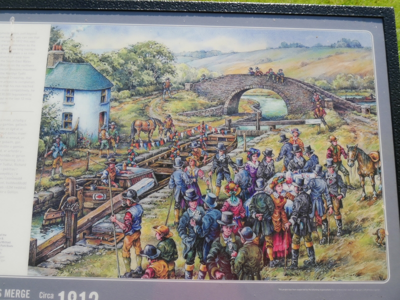
The Brecknock and Abergavenny Canal was promoted in 1792 to connect the upper Usk valley to the Monmouthshire Canal at Pontymoile and from there to the sea at Newport. Construction began in 1797, with Thomas Dadford Jnr. as engineer, and the first section, from Gilwern to Llangynidr was completed in that year with the stretch as far as Brecon following in 1800. Work then stopped for a time with the result that the section to the Blaenavon Road east of Govilon was not completed until 1805, now with Thomas Cartwright as engineer. Further funds had to be raised and the last section from west of Llanfoist to Pontymoile was completed betwen 1809 and 1812, with William Crosley as engineer. Linked to the tramroads the canal was an important artery for trade in iron, lime and coal. In 1865 the Monmouthshire and the Brecknock and Abergavenny Canal Companies merged becoming the Monmouthshire and Brecon Canal Company. Later still in 1880 the canal was bought out by the Great Western Railway and gradually the canal was run down until it was abandoned finally in 1962. Restoration work was begun in 1964, and the canal is once again open between Pontymoile and Brecon with the title Monmouthshire and Brecon Canal.
Junction bridge at the junction of the Brecknock and Abergavenny Canal and the now closed Monmouthshire Canal. Semi-elliptical arch with voussoirs; faced and coursed stone; parapet with slab coping; curving abutments partly with plain pilasters. Towpath to Brecknock and Abergavenny Canal runs beneath bridge arch on south-east side. A diamond shaped 6-ton weight limit sign survives from the GWR period of ownership.
Included for its special interest as one of the unaltered surviving early C19 Brecknock and Abergavenny canal bridges.
External links are from the relevant listing authority and, where applicable, Wikidata. Wikidata IDs may be related buildings as well as this specific building. If you want to add or update a link, you will need to do so by editing the Wikidata entry.


Other nearby listed buildings
