Approximate Location Map
Large Map »
Latitude: 52.2742 / 52°16'27"N
Longitude: -3.0078 / 3°0'28"W
OS Eastings: 331332
OS Northings: 264487
OS Grid: SO313644
Mapcode National: GBR B6.YS5L
Mapcode Global: VH772.T38D
Plus Code: 9C4R7XFR+MV
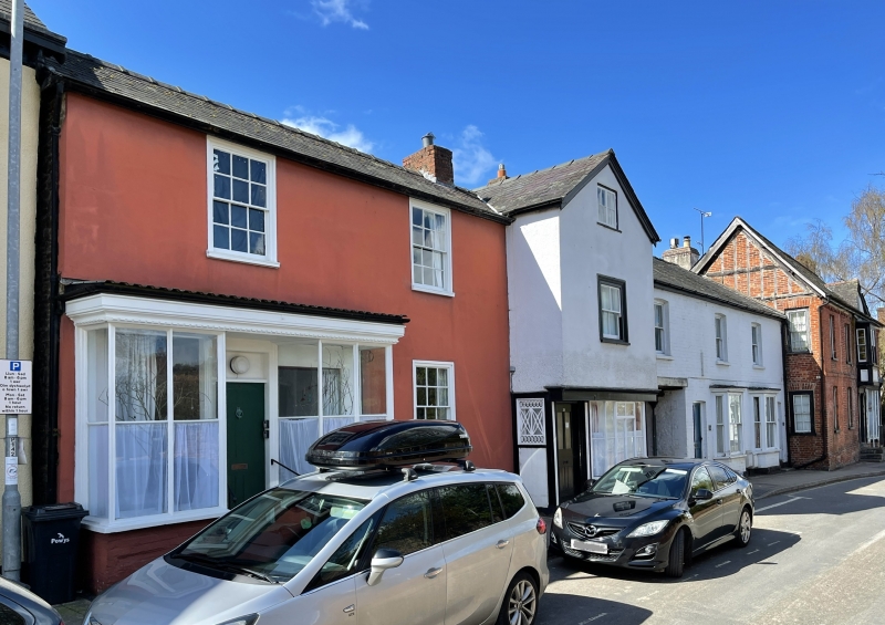
Entry Name: NO.39 High Street, Powys
Listing Date: 26 March 1985
Last Amended: 26 March 1985
Grade: II
Source: Cadw
Source ID: 8892
Building Class: Commercial
ID on this website: 300008892
Location: Forward slightly from the Castle.
County: Powys
Community: Presteigne (Llanandras)
Community: Presteigne
Built-Up Area: Presteigne
Traditional County: Radnorshire
Tagged with: Building
2 storey and basement C18 stucco front with incised coursing. Slate roof. 2 windows wide, double-hung sashes in flush timber frames.
C19 small projecting double shop-front with original fenestration; plain 4-panel door up 3 steps.
Group value.
External links are from the relevant listing authority and, where applicable, Wikidata. Wikidata IDs may be related buildings as well as this specific building. If you want to add or update a link, you will need to do so by editing the Wikidata entry.


Other nearby listed buildings
