Approximate Location Map
Large Map »
Latitude: 51.8237 / 51°49'25"N
Longitude: -3.0983 / 3°5'53"W
OS Eastings: 324400
OS Northings: 214472
OS Grid: SO244144
Mapcode National: GBR F2.W83V
Mapcode Global: VH795.7FX8
Plus Code: 9C3RRWF2+FM
Entry Name: Embankment & Aqueduct of Brecknock & Abergavenny Canal inc. N Revetment Walls and SW Overflow Bridge
Listing Date: 27 July 2000
Last Amended: 27 July 2000
Grade: II*
Source: Cadw
Source ID: 23826
Building Class: Transport
ID on this website: 300023826
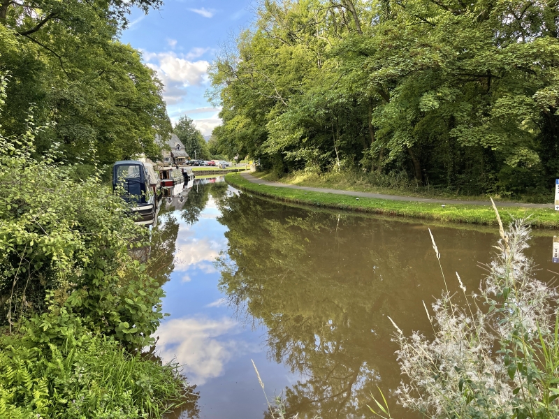
Location: Situated to south-west of village in across deep ravine of river Clydach.
County: Monmouthshire
Community: Llanelly (Llanelli)
Community: Llanelly
Locality: Gilwern
Built-Up Area: Gilwern
Traditional County: Brecknockshire
Tagged with: Aqueduct
Impressive embanked aqueduct built 1797 by Thomas Dadford, engineer for carrying canal across deep Clydach gorge, also providing a tunnel for the earlier Clydach tramroad leading to Glangrwyne Forge. In 1792, the Act for the Monmouthshire Canal was passed: in the same year, the promoters of the Brecknock and Abergavenny Canal were proposing a canal to run separately, from Brecon to Newbridge. By October 1792 it was resolved to link directly to the proposed Monmouthshire Canal rather than the river Usk, and Thomas Dadford, engineer, was asked to survey a suitable route from Pontypool to Brecon. Work began early in 1797 with the aqueduct and embankment at Gilwern, and by November 1797, the eight-and-a-half mile (13.7 kilometre) section from Gilwern to Llangynidr was open. A further twelve mile section to Talybont was open by February 1799, and on Christmas Eve 1800, the final link to Brecon was opened. After 1798, Thomas Dadford was replaced with Thomas Cartwright, who engineered the extension of the canal form Gilwern to Llanfoist 1802-05. By February 1812 the canal had connected to the Monmouthshire Canal at Ponymoile, and the wharves at Brecon and Gilwern had been extended. The engineer for this section was William Crosley. After, when the Newport and Pontypool Railway was promoted, the canals were in decline. The Brecknock and Abergavenny Company made several unsuccessful overtures to various railway companies, but by 1865 had sold out to the Monmouthshire Canal Company. In 1880, the Monmouthshire Canal Company merged with the Great Western Railway. The last toll on the canal was taken in February 1933.
Massive wooded earth embankment standing approximately 25 metres high and some 100 metres long, blocking the lower mouth of the Clydach Gorge, the Clydach River taken through a long segmentally-arched tunnel. Tunnel is approximately 90 metres long. Arched buttressed portals with ashlar voussoirs and rubble abutments. Above, to north is former tramroad tunnel, now used as pedestrian route. Round-arched tunnel with stone voussoirs to portals; segmental over-arch to W side. Very long rubble revetment wall to NW containing earth bank, following line of track to Waterfall Cottages. To NE of tramroad tunnel are sloping splayed revetments. To SW is very small segmentally-arched bridge over overflow with stone voussoirs and rubble-capped parapet.
Listed at Grade II* as an outstanding feature of the engineering works associated with the Brecknock and Abergavenny Canal.
Scheduled Ancient Monument Mm 251.
External links are from the relevant listing authority and, where applicable, Wikidata. Wikidata IDs may be related buildings as well as this specific building. If you want to add or update a link, you will need to do so by editing the Wikidata entry.


Other nearby listed buildings
