Approximate Location Map
Large Map »
Latitude: 51.0601 / 51°3'36"N
Longitude: -0.3213 / 0°19'16"W
OS Eastings: 517737
OS Northings: 130317
OS Grid: TQ177303
Mapcode National: GBR HJN.HKZ
Mapcode Global: FRA B669.YG3
Plus Code: 9C3X3M6H+3F
Entry Name: 11, Brighton Road
Listing Date: 26 July 1974
Grade: II
Source: Historic England
Source ID: 1027529
English Heritage Legacy ID: 298094
ID on this website: 101027529
Location: New Town, Horsham, West Sussex, RH13
County: West Sussex
District: Horsham
Electoral Ward/Division: Horsham Park
Parish: Non Civil Parish
Built-Up Area: Horsham
Traditional County: Sussex
Lieutenancy Area (Ceremonial County): West Sussex
Church of England Parish: Horsham St Mary the Virgin
Church of England Diocese: Chichester
Tagged with: Building
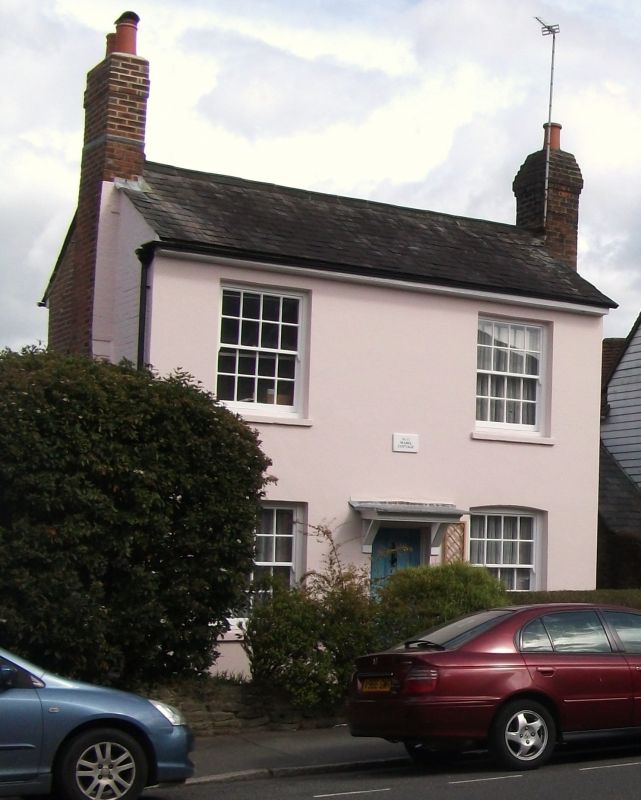
BRIGHTON ROAD
1.
1236
(North Side)
No 11
TQ 1730 1/90
II GV
2.
Early to mid C19, altered later. 2 storeys. 2 windows. Stuccoed. Slate roof.
All sash windows, glazing bars intact. 4-panel door with hood over.
Nos 9 to 13 (odd) form a small group.
Listing NGR: TQ1773730317
External links are from the relevant listing authority and, where applicable, Wikidata. Wikidata IDs may be related buildings as well as this specific building. If you want to add or update a link, you will need to do so by editing the Wikidata entry.


Other nearby listed buildings
