Approximate Location Map
Large Map »
Latitude: 51.7519 / 51°45'6"N
Longitude: -1.2539 / 1°15'13"W
OS Eastings: 451601
OS Northings: 206172
OS Grid: SP516061
Mapcode National: GBR 8Z4.1TX
Mapcode Global: VHCXV.67ZC
Plus Code: 9C3WQP2W+PC
Entry Name: Oriel College, Boundary Wall
Listing Date: 28 June 1972
Grade: II
Source: Historic England
Source ID: 1046659
English Heritage Legacy ID: 245055
ID on this website: 101046659
Location: Oxford, Oxfordshire, OX1
County: Oxfordshire
District: Oxford
Electoral Ward/Division: Holywell
Parish: Non Civil Parish
Built-Up Area: Oxford
Traditional County: Oxfordshire
Lieutenancy Area (Ceremonial County): Oxfordshire
Church of England Parish: Oxford St Mary the Virgin with St Cross with St Peter-in-the-East,
Church of England Diocese: Oxford
Tagged with: Building
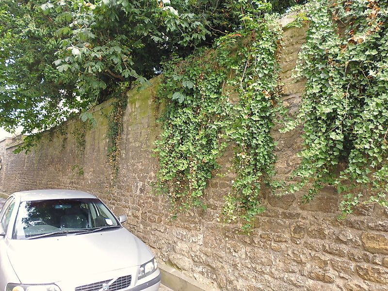
ORIEL COLLEGE
1.
1485
Boundary wall on
Oriel Street
SP 5106 SE 9/370M
II
2.
Cl8 or earlier. Rubble with dressed coping.
Listing NGR: SP5160106172
External links are from the relevant listing authority and, where applicable, Wikidata. Wikidata IDs may be related buildings as well as this specific building. If you want to add or update a link, you will need to do so by editing the Wikidata entry.


Other nearby listed buildings
