Approximate Location Map
Large Map »
Latitude: 51.7529 / 51°45'10"N
Longitude: -1.255 / 1°15'17"W
OS Eastings: 451524
OS Northings: 206283
OS Grid: SP515062
Mapcode National: GBR 8Z4.1JS
Mapcode Global: VHCXV.66DL
Plus Code: 9C3WQP3W+52
Entry Name: Brasenose College, West Range, Third Quadrangle
Listing Date: 28 June 1972
Grade: II
Source: Historic England
Source ID: 1046734
English Heritage Legacy ID: 244866
ID on this website: 101046734
Location: Oxford, Oxfordshire, OX1
County: Oxfordshire
District: Oxford
Electoral Ward/Division: Carfax
Parish: Non Civil Parish
Built-Up Area: Oxford
Traditional County: Oxfordshire
Lieutenancy Area (Ceremonial County): Oxfordshire
Church of England Parish: Oxford St Michael and St Martin and All Saints
Church of England Diocese: Oxford
Tagged with: Building
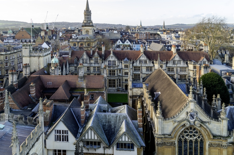
BRASENOSE COLLEGE
1.
1485
Third Quadrangle
West Range
BP 5106 SE 9/319E
II
2.
1880-7, by Sir Thomas Jackson in Gothic in Bladon stone with Clipsham stone
dressings.
Listing NGR: SP5152606266
External links are from the relevant listing authority and, where applicable, Wikidata. Wikidata IDs may be related buildings as well as this specific building. If you want to add or update a link, you will need to do so by editing the Wikidata entry.


Other nearby listed buildings
