Approximate Location Map
Large Map »
Latitude: 52.1988 / 52°11'55"N
Longitude: -2.2255 / 2°13'31"W
OS Eastings: 384683
OS Northings: 255638
OS Grid: SO846556
Mapcode National: GBR 1G4.252
Mapcode Global: VH92M.CZTT
Plus Code: 9C4V5QXF+GQ
Entry Name: 2, Britannia Square
Listing Date: 22 May 1954
Grade: II
Source: Historic England
Source ID: 1063925
English Heritage Legacy ID: 488556
ID on this website: 101063925
Location: Britannia Square, Worcester, Worcestershire, WR1
County: Worcestershire
District: Worcester
Electoral Ward/Division: Cathedral
Parish: Non Civil Parish
Built-Up Area: Worcester
Traditional County: Worcestershire
Lieutenancy Area (Ceremonial County): Worcestershire
Church of England Parish: Worcester St George with St Mary Magdalene
Church of England Diocese: Worcester
Tagged with: Building
WORCESTER
SO8455NE BRITANNIA SQUARE
620-1/8/73 (South side)
22/5/54 No.2
GV II
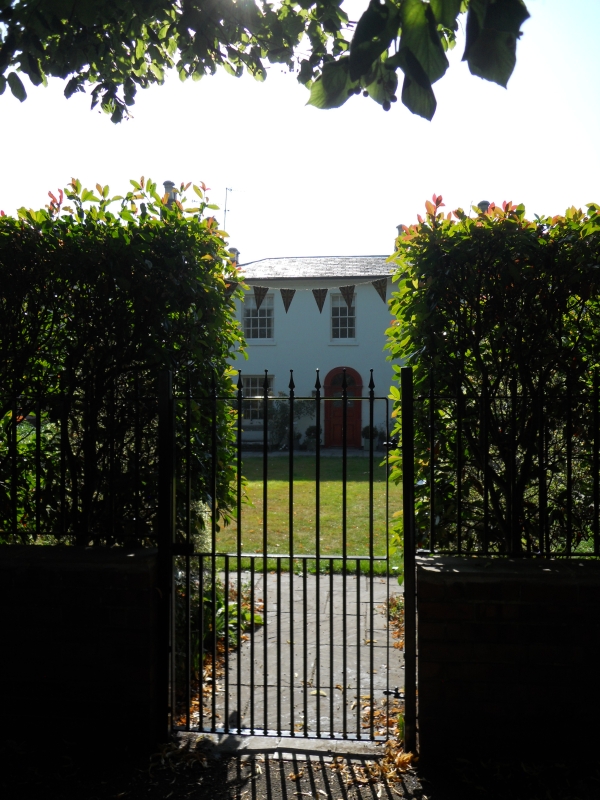
House. c1820 with later additions and alterations. Painted stucco
over brick; hipped slate roof; altered brick end stacks with
pots; end and ridge brick stacks to rear range. Double-depth plan
with central entrance and hallway. 2 storeys. 3 first-floor
windows. Stucco detailing includes moulded architrave to entrance
and sills; stucco scored to represent ashlar. Sashes are 8/8
except centre first-floor which is 6/6; all in plain reveals with
sills. 5 panel entrance door, bottom pair flush double beaded,
centre panel raised and fielded, upper pair glazed; fanlight.
2-storey rear range with ridge running parallel to that of front
range; roof hipped to left end; rear range offset to right and
linked to right return of front range by single-storey
flat-roofed infill; access via 2-panel door. Left return is plain
brick; right return is painted brick. 3/2 and 2/2 sashes to rear
elevation.
All the listed buildings in Britannia Square (qv) form a unified
group, started in 1820 and planned around a large green in which
the main house is placed ('Springfield', qv). Compares with
similar although smaller developments in Worcester such as
Lansdowne Crescent, Lark Hill, and Rainbow Hill Terrace (qqv).
(Buildings of England: Pevsner N: Worcestershire: Harmondsworth:
1968-1985: 334).
External links are from the relevant listing authority and, where applicable, Wikidata. Wikidata IDs may be related buildings as well as this specific building. If you want to add or update a link, you will need to do so by editing the Wikidata entry.


Other nearby listed buildings
