Approximate Location Map
Large Map »
Latitude: 51.1385 / 51°8'18"N
Longitude: 0.676 / 0°40'33"E
OS Eastings: 587304
OS Northings: 141099
OS Grid: TQ873410
Mapcode National: GBR QV9.HQV
Mapcode Global: VHJN2.NNR2
Plus Code: 9F324MQG+CC
Entry Name: Gilham Barn
Listing Date: 10 October 1980
Grade: II
Source: Historic England
Source ID: 1065716
English Heritage Legacy ID: 181276
ID on this website: 101065716
Location: Tylden, Ashford, Kent, TN27
County: Kent
District: Ashford
Civil Parish: Smarden
Traditional County: Kent
Lieutenancy Area (Ceremonial County): Kent
Tagged with: Building
This list entry was subject to a Minor Amendment on 24 August 2023 to amend the name and address and to reformat the text to current standards
TQ 8741
30/72A
SMARDEN
TILDEN
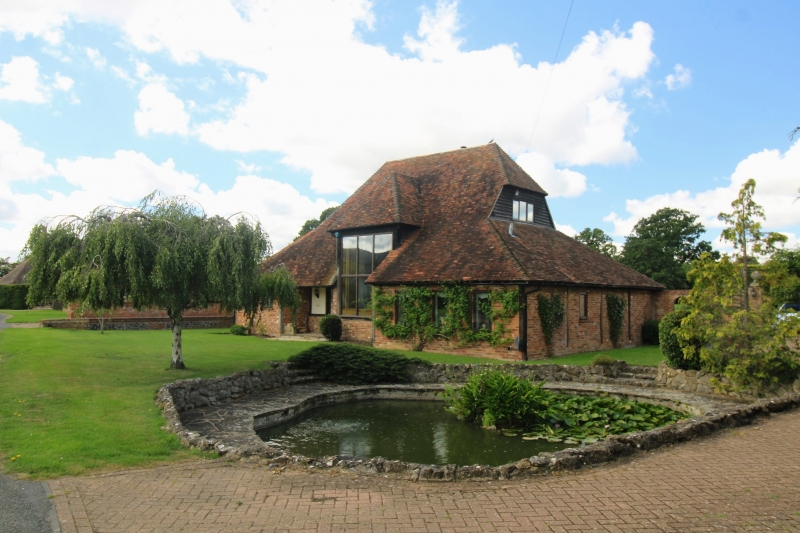
Gilham Barn
(Formerly listed as Weatherboarded barn opposite Gillham)
II
C18 or earlier. Weatherboarded barn with steeply-pitched hipped tiled roof and hipped waggon entrance.
Listing NGR: TQ8730441099
External links are from the relevant listing authority and, where applicable, Wikidata. Wikidata IDs may be related buildings as well as this specific building. If you want to add or update a link, you will need to do so by editing the Wikidata entry.


Other nearby listed buildings
