Approximate Location Map
Large Map »
Latitude: 52.2014 / 52°12'5"N
Longitude: 0.1159 / 0°6'57"E
OS Eastings: 544695
OS Northings: 258020
OS Grid: TL446580
Mapcode National: GBR L79.S4W
Mapcode Global: VHHK2.YXMR
Plus Code: 9F426428+H8
Entry Name: The Mill the Mill Bridge and Paved Surround
Listing Date: 2 November 1972
Grade: II
Source: Historic England
Source ID: 1081507
English Heritage Legacy ID: 47449
ID on this website: 101081507
Location: Cambridge, Cambridgeshire, CB3
County: Cambridgeshire
District: Cambridge
Electoral Ward/Division: Market
Parish: Non Civil Parish
Built-Up Area: Cambridge
Traditional County: Cambridgeshire
Lieutenancy Area (Ceremonial County): Cambridgeshire
Church of England Parish: Cambridge St Mary the Less
Church of England Diocese: Ely
GRANTA PLACE
1.
942
The Mill Bridge and
paved surround
TL 4458 SE 6/501
II
2.
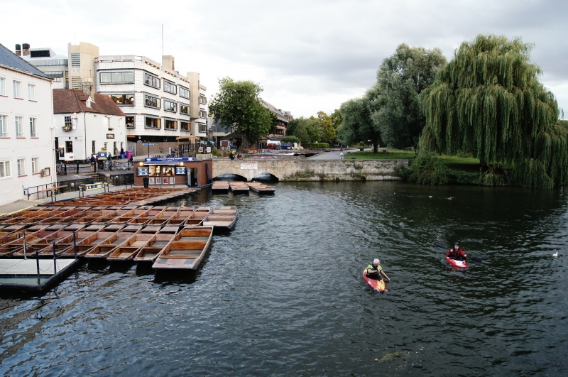
Only remains of the mill that stood on the site for several centuries.
Gault brick, stone capped walls. 2 shutes where the mill wheels stood.
Paved area comprising cobblestones, granite setts and 2 millstones. Considerable
visual value.
Listing NGR: TL4469558020
External links are from the relevant listing authority and, where applicable, Wikidata. Wikidata IDs may be related buildings as well as this specific building. If you want to add or update a link, you will need to do so by editing the Wikidata entry.


Other nearby listed buildings
