Approximate Location Map
Large Map »
Latitude: 51.4351 / 51°26'6"N
Longitude: 0.3532 / 0°21'11"E
OS Eastings: 563665
OS Northings: 173305
OS Grid: TQ636733
Mapcode National: GBR NMK.S68
Mapcode Global: VHJLK.26L5
Plus Code: 9F32C9P3+27
Entry Name: 11, Victoria Road
Listing Date: 3 September 1979
Grade: II
Source: Historic England
Source ID: 1083890
English Heritage Legacy ID: 356861
ID on this website: 101083890
Location: Perry Street, Gravesham, Kent, DA11
County: Kent
District: Gravesham
Electoral Ward/Division: Northfleet South
Parish: Non Civil Parish
Built-Up Area: Northfleet
Traditional County: Kent
Lieutenancy Area (Ceremonial County): Kent
Church of England Parish: Perry Street, All Saints
Church of England Diocese: Rochester
Tagged with: Building
TQ 67 SW NORTHFLEET VICTORIA ROAD
1/133
3.9.79 No 11
II
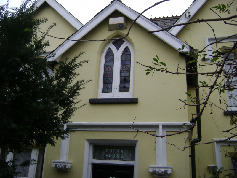
C19 house with symmetrical plan. 'Tudor' drip mouldings and gabled slate roof with
decorative tiled ridges in early Victorian 'Gothic' style. Two storeys. Two sash
windows. Central 2-storey porch and side addition have pointed Gothic windows.
Listing NGR: TQ6366373308
External links are from the relevant listing authority and, where applicable, Wikidata. Wikidata IDs may be related buildings as well as this specific building. If you want to add or update a link, you will need to do so by editing the Wikidata entry.


Other nearby listed buildings
