Approximate Location Map
Large Map »
Latitude: 51.3886 / 51°23'19"N
Longitude: 1.3826 / 1°22'57"E
OS Eastings: 635439
OS Northings: 170941
OS Grid: TR354709
Mapcode National: GBR WZS.VRT
Mapcode Global: VHLG6.XC89
Plus Code: 9F3399QM+F2
Entry Name: The Limes
Listing Date: 22 February 1973
Grade: II
Source: Historic England
Source ID: 1094632
English Heritage Legacy ID: 356574
ID on this website: 101094632
Location: Margate, Thanet, Kent, CT9
County: Kent
District: Thanet
Electoral Ward/Division: Margate Central
Parish: Non Civil Parish
Built-Up Area: Margate
Traditional County: Kent
Lieutenancy Area (Ceremonial County): Kent
Tagged with: Building
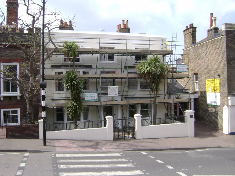
HAWLEY STREET
1.
1380
(West Side)
No 13
(The Limes)
TR 3570 NW 1/20
II GV
2.
Early C19. 3 storeys stuccoed, the ground floor rusticated. Cornice and
parapet. 3 sashes with glazing bars missing. 2 bay windows on the ground and
1st floors, Other windows have architraves over them. Porch with Tuscan columns
and triglyph frieze.
Nos 12 to 13 form a group
Listing NGR: TR3543970941
External links are from the relevant listing authority and, where applicable, Wikidata. Wikidata IDs may be related buildings as well as this specific building. If you want to add or update a link, you will need to do so by editing the Wikidata entry.


Other nearby listed buildings
