Approximate Location Map
Large Map »
Latitude: 51.3891 / 51°23'20"N
Longitude: 1.3821 / 1°22'55"E
OS Eastings: 635404
OS Northings: 170990
OS Grid: TR354709
Mapcode National: GBR WZS.VMS
Mapcode Global: VHLG6.XB1Z
Plus Code: 9F3399QJ+JR
Entry Name: 14, Market Place
Listing Date: 22 February 1973
Grade: II
Source: Historic England
Source ID: 1094656
English Heritage Legacy ID: 356625
ID on this website: 101094656
Location: Margate, Thanet, Kent, CT9
County: Kent
District: Thanet
Electoral Ward/Division: Margate Central
Parish: Non Civil Parish
Built-Up Area: Margate
Traditional County: Kent
Lieutenancy Area (Ceremonial County): Kent
Tagged with: Building
MARKET PLACE
1.
1380
(South Side)
No 14
TR 3570 NW 1/246
II GV
2.
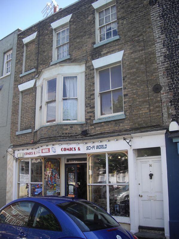
Early C19. 3 storeys stock brick. Stone coping. 3 window spaces and 1 blank.
The other 2 are sashes with some glazing bars intact. 1st floor 3 light canted
bay. The ground floor has an early Cl9 shopfront and right side simple doorcase
with rectangular fanlight.
Nos 13 to 20 (consec) and No 1 Market Street form a group
Listing NGR: TR3539870989
External links are from the relevant listing authority and, where applicable, Wikidata. Wikidata IDs may be related buildings as well as this specific building. If you want to add or update a link, you will need to do so by editing the Wikidata entry.


Other nearby listed buildings
