Approximate Location Map
Large Map »
Latitude: 51.2775 / 51°16'38"N
Longitude: 1.0863 / 1°5'10"E
OS Eastings: 615352
OS Northings: 157672
OS Grid: TR153576
Mapcode National: GBR TY2.ZD0
Mapcode Global: VHLGM.S550
Plus Code: 9F3373GP+XG
Entry Name: 6A, Longport
Listing Date: 3 May 1967
Last Amended: 7 September 1973
Grade: II
Source: Historic England
Source ID: 1097015
English Heritage Legacy ID: 439657
ID on this website: 101097015
Location: Canterbury, Kent, CT1
County: Kent
District: Canterbury
Electoral Ward/Division: Barton
Parish: Non Civil Parish
Built-Up Area: Canterbury
Traditional County: Kent
Lieutenancy Area (Ceremonial County): Kent
Tagged with: Building
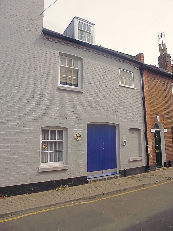
1.
944 LONG PORT
(South Side)
No 6A
(Formerly listed as the
Warehouse between Love Lane
& No 7)
TR 1557 NW 5/335 3.5.67.
II GV
2.
An C18 industrial building. 3 storeys red brick. Hipped tiled roof. 4 horizontally
sliding sash windows. Ground floor windows have now been bricked in.
Nos 6A to 9 (consec) form a group.
Also forms a group with Nos 14 to 18 (consec) Love Lane.
Listing NGR: TR1535457671
External links are from the relevant listing authority and, where applicable, Wikidata. Wikidata IDs may be related buildings as well as this specific building. If you want to add or update a link, you will need to do so by editing the Wikidata entry.


Other nearby listed buildings
