Approximate Location Map
Large Map »
Latitude: 52.3655 / 52°21'55"N
Longitude: -2.7182 / 2°43'5"W
OS Eastings: 351193
OS Northings: 274403
OS Grid: SO511744
Mapcode National: GBR BK.S5HV
Mapcode Global: VH843.TSVZ
Plus Code: 9C4V978J+5P
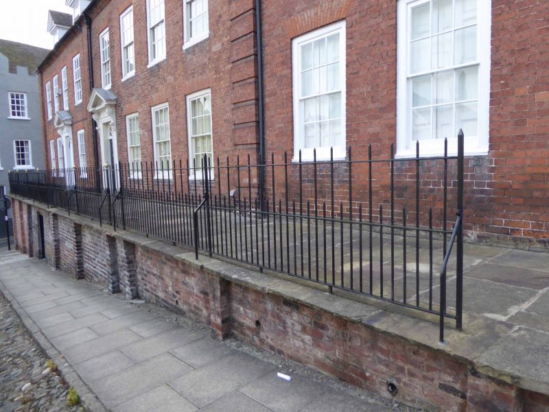
Entry Name: Railings to Raised Pavement Fronting Numbers 35, 36 and Part of 37
Listing Date: 15 March 1974
Grade: II
Source: Historic England
Source ID: 1202807
English Heritage Legacy ID: 389763
ID on this website: 101202807
Location: Ludlow, Shropshire, SY8
County: Shropshire
Civil Parish: Ludlow
Built-Up Area: Ludlow
Traditional County: Shropshire
Lieutenancy Area (Ceremonial County): Shropshire
Church of England Parish: Ludlow St Laurence
Church of England Diocese: Hereford
Tagged with: Guard rail
LUDLOW
SO5174 BROAD STREET
825-1/1/137 (West side)
15/03/74 Railings to raised pavement fronting
Nos 35, 36 and part of 37
GV II
Railings. C18. Wrought-iron, set in stone flags.
Listing NGR: SO5119474405
External links are from the relevant listing authority and, where applicable, Wikidata. Wikidata IDs may be related buildings as well as this specific building. If you want to add or update a link, you will need to do so by editing the Wikidata entry.


Other nearby listed buildings
