Approximate Location Map
Large Map »
Latitude: 51.389 / 51°23'20"N
Longitude: 1.3803 / 1°22'49"E
OS Eastings: 635279
OS Northings: 170974
OS Grid: TR352709
Mapcode National: GBR WZS.V31
Mapcode Global: VHLG6.WC21
Plus Code: 9F3399QJ+H4
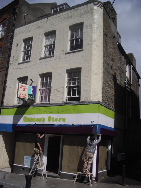
Entry Name: 17, High Street
Listing Date: 22 February 1973
Grade: II
Source: Historic England
Source ID: 1203716
English Heritage Legacy ID: 356581
ID on this website: 101203716
Location: Margate, Thanet, Kent, CT9
County: Kent
District: Thanet
Electoral Ward/Division: Margate Central
Parish: Non Civil Parish
Built-Up Area: Margate
Traditional County: Kent
Lieutenancy Area (Ceremonial County): Kent
Tagged with: Building
HIGH STREET
1.
1380
(East Side)
No 17
TR 3570 NW 1/183
II GV
2.
Early C19. 3 storeys painted brick. Hipped tiled roof with 1 dormer and
stone coping. 3 cambered sashes with glazing bars intact. Stone cills.
Modern shopfront. Side elevation has 1 2-light curved bow.
Nos 17 to 25 (odd) form a group
Listing NGR: TR3527970974
External links are from the relevant listing authority and, where applicable, Wikidata. Wikidata IDs may be related buildings as well as this specific building. If you want to add or update a link, you will need to do so by editing the Wikidata entry.


Other nearby listed buildings
