Approximate Location Map
Large Map »
Latitude: 54.2352 / 54°14'6"N
Longitude: -0.7175 / 0°43'3"W
OS Eastings: 483687
OS Northings: 482920
OS Grid: SE836829
Mapcode National: GBR RMFG.GK
Mapcode Global: WHF9X.YTH4
Plus Code: 9C6X67PJ+3X
Entry Name: Wall forming ha ha approximately 140 metres south of The Hall
Listing Date: 5 February 1986
Grade: II
Source: Historic England
Source ID: 1241249
English Heritage Legacy ID: 440229
ID on this website: 101241249
Location: Thornton-le-Dale, North Yorkshire, YO18
County: North Yorkshire
District: Ryedale
Civil Parish: Thornton-le-Dale
Built-Up Area: Thornton-le-Dale
Traditional County: Yorkshire
Lieutenancy Area (Ceremonial County): North Yorkshire
Tagged with: Wall
This list entry was subject to a Minor Amendment on 20/08/2020
SE 8383
14/123
THORNTON DALE
HIGH STREET (south side)
Wall forming ha ha approximately 140 metres south of The Hall
(Formerly listed as Wall forming ha-ha approximately 210 metres south of The Hall)
GV
II
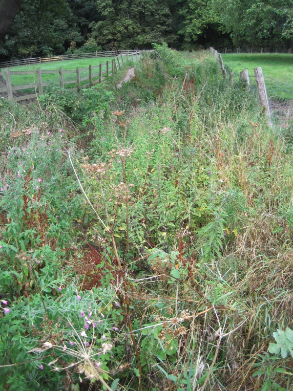
Ha ha. 1739. Coursed limestone rubble. Sunken wall approximately 3 metres high and 400 metres long, with semicircular centre section.
Listing NGR: SE8368782920
External links are from the relevant listing authority and, where applicable, Wikidata. Wikidata IDs may be related buildings as well as this specific building. If you want to add or update a link, you will need to do so by editing the Wikidata entry.


Other nearby listed buildings
