Approximate Location Map
Large Map »
Latitude: 51.2809 / 51°16'51"N
Longitude: 1.0815 / 1°4'53"E
OS Eastings: 614999
OS Northings: 158036
OS Grid: TR149580
Mapcode National: GBR TY2.Q7Z
Mapcode Global: VHLGM.P2LD
Plus Code: 9F3373JJ+8J
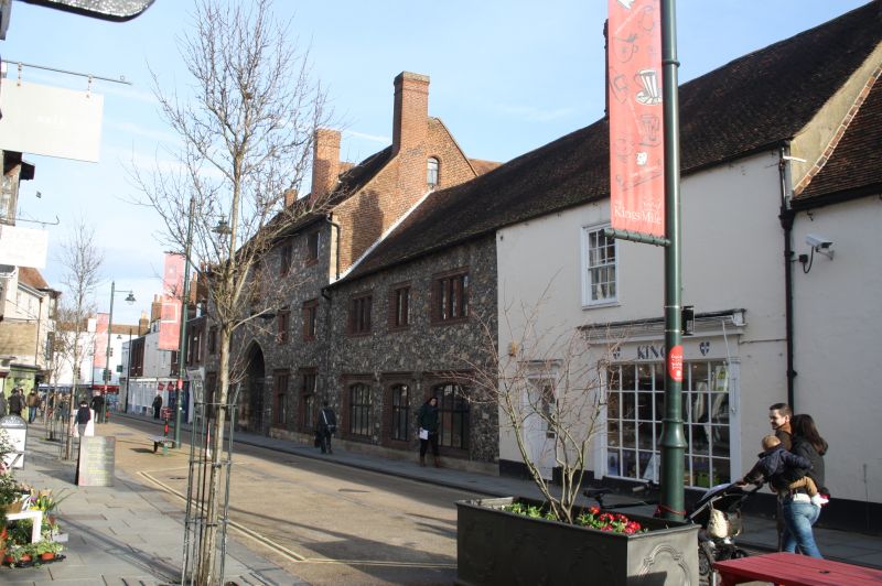
Entry Name: 46, Palace Street
Listing Date: 3 May 1967
Grade: II
Source: Historic England
Source ID: 1241504
English Heritage Legacy ID: 440574
ID on this website: 101241504
Location: Canterbury, Kent, CT1
County: Kent
District: Canterbury
Electoral Ward/Division: Westgate
Parish: Non Civil Parish
Built-Up Area: Canterbury
Traditional County: Kent
Lieutenancy Area (Ceremonial County): Kent
Tagged with: Building
1.
944 PALACE STREET
(East Side)
No 46
TR 1558 SW 3/50
TR 1458 SE 2/50 3.5.67.
II GV
2.
1 storey plastered. Tiled roof 2 C19 shopfronts.
Nos 29 to 48 (consec) form a group.
Listing NGR: TR1499958038
External links are from the relevant listing authority and, where applicable, Wikidata. Wikidata IDs may be related buildings as well as this specific building. If you want to add or update a link, you will need to do so by editing the Wikidata entry.


Other nearby listed buildings
