Approximate Location Map
Large Map »
Latitude: 51.2775 / 51°16'39"N
Longitude: 1.0943 / 1°5'39"E
OS Eastings: 615909
OS Northings: 157701
OS Grid: TR159577
Mapcode National: GBR TY3.TRL
Mapcode Global: VHLGM.X4DZ
Plus Code: 9F3373HV+2P
Entry Name: St Martin's Priory
Listing Date: 3 May 1967
Grade: II
Source: Historic England
Source ID: 1242173
English Heritage Legacy ID: 441534
ID on this website: 101242173
Location: St Martin's, Canterbury, Kent, CT1
County: Kent
District: Canterbury
Electoral Ward/Division: Barton
Parish: Non Civil Parish
Built-Up Area: Canterbury
Traditional County: Kent
Lieutenancy Area (Ceremonial County): Kent
Tagged with: Architectural structure
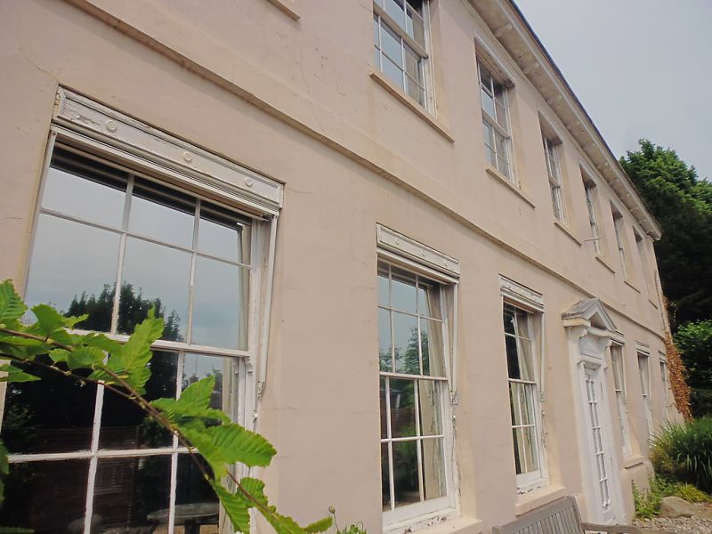
1.
944 ST MARTIN'S HILL
St Martin's Priory
TR 1557 NE 6/163B 3.5.67.
II
2.
The exterior is C18, refaced with roughcast. 2 storeys with 2 brick buttresses
at the east end. Half-hipped tiled roof with wooden eaves cornice and 3 dormers.
Stringcourse. 7 sashes with glazing bars intact. Modern addition to the west.
Listing NGR: TR1590557707
External links are from the relevant listing authority and, where applicable, Wikidata. Wikidata IDs may be related buildings as well as this specific building. If you want to add or update a link, you will need to do so by editing the Wikidata entry.


Other nearby listed buildings
