Approximate Location Map
Large Map »
Latitude: 51.2762 / 51°16'34"N
Longitude: 1.0773 / 1°4'38"E
OS Eastings: 614726
OS Northings: 157502
OS Grid: TR147575
Mapcode National: GBR TY2.WQS
Mapcode Global: VHLGM.M6C0
Plus Code: 9F3373GG+FW
Entry Name: 1-3, St Mary's Street
Listing Date: 7 September 1973
Grade: II
Source: Historic England
Source ID: 1242305
English Heritage Legacy ID: 441539
ID on this website: 101242305
Location: Canterbury, Kent, CT1
County: Kent
District: Canterbury
Electoral Ward/Division: Westgate
Parish: Non Civil Parish
Built-Up Area: Canterbury
Traditional County: Kent
Lieutenancy Area (Ceremonial County): Kent
Tagged with: Building
1.
944 ST MARY'S STREET
(South West Side)
Nos 1 to 3 (consec)
TR 1457 NE 4/672
TR 1457 SE 8/672
II GV
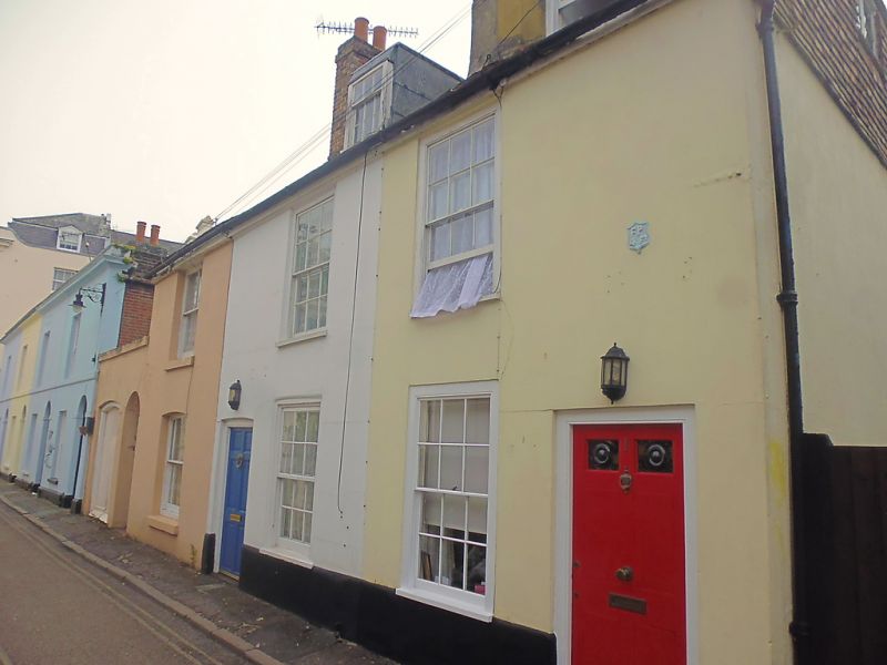
2.
C18 refaced in C19. 2 storeys stuccoed. Tiled mansard roof with 1 domer.
Tile hung gable. 3 sashes with most glazing bars intact. Simple moulded
wooden architraves to doorcases.
Nos 1 to 7 (consec) form a group.
Listing NGR: TR1472057502
External links are from the relevant listing authority and, where applicable, Wikidata. Wikidata IDs may be related buildings as well as this specific building. If you want to add or update a link, you will need to do so by editing the Wikidata entry.


Other nearby listed buildings
