Approximate Location Map
Large Map »
Latitude: 51.2809 / 51°16'51"N
Longitude: 1.0771 / 1°4'37"E
OS Eastings: 614689
OS Northings: 158031
OS Grid: TR146580
Mapcode National: GBR TY2.P3K
Mapcode Global: VHLGM.M28C
Plus Code: 9F3373JG+9R
Entry Name: 19 and 20, St Peter's Street
Listing Date: 7 September 1973
Grade: II
Source: Historic England
Source ID: 1242344
English Heritage Legacy ID: 441712
ID on this website: 101242344
Location: Canterbury, Kent, CT1
County: Kent
District: Canterbury
Electoral Ward/Division: Westgate
Parish: Non Civil Parish
Built-Up Area: Canterbury
Traditional County: Kent
Lieutenancy Area (Ceremonial County): Kent
Tagged with: Building
1.
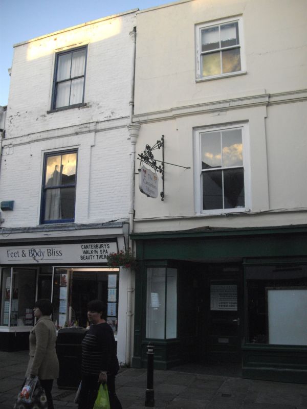
944 ST PETER'S STREET
(North East Side)
Nos 19 and 20
TR 1458 SE 2/682
II GV
2.
Earlier C19 facade to earlier building. 3 storeys. No 19 is stuccoed. No
20 is painted brick. Parapet with coping. 1 sash each with vertical glazing
bars only. Later shop fronts. Old tiled roof in hips. Part of the side
elevation is tile hung.
Nos 19 to 27A (consec) form a group.
Listing NGR: TR1468958035
External links are from the relevant listing authority and, where applicable, Wikidata. Wikidata IDs may be related buildings as well as this specific building. If you want to add or update a link, you will need to do so by editing the Wikidata entry.


Other nearby listed buildings
