Approximate Location Map
Large Map »
Latitude: 53.7844 / 53°47'3"N
Longitude: -2.2512 / 2°15'4"W
OS Eastings: 383543
OS Northings: 432041
OS Grid: SD835320
Mapcode National: GBR DSQP.D4
Mapcode Global: WHB83.D46M
Plus Code: 9C5VQPMX+QG
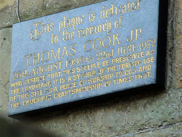
Entry Name: Tower and spire of former Methodist Church (demolished) & adjoining balustrade
Listing Date: 27 September 1972
Grade: II
Source: Historic England
Source ID: 1244908
English Heritage Legacy ID: 467131
ID on this website: 101244908
Location: Burnley, Lancashire, BB11
County: Lancashire
District: Burnley
Electoral Ward/Division: Trinity
Parish: Non Civil Parish
Built-Up Area: Burnley
Traditional County: Lancashire
Lieutenancy Area (Ceremonial County): Lancashire
Church of England Parish: Burnley (Habergham Eaves) St Matthew the Apostle
Church of England Diocese: Blackburn
Tagged with: Tower
SD8332SE
906-1/19/95
BURNLEY
MANCHESTER ROAD (East side)
Tower and spire of former Methodist Church (demolished) & adjoining balustrade
27/09/72
GV
II
Formerly known as: The former Methodist Church, including adjoining balustrade MANCHESTER ROAD.
Tower and spire of former Methodist Church, with adjoining balustrade. c1905. By Waddington, Son and Dunkerley (church demolished). Coursed squared sandstone to the first stage and sandstone ashlar above. Square plan. The tower, of two tall stages, has a moulded plinth, an impost band, an offset to the second stage which is clasped by diagonal shafts carried up as pinnacles, a parapet with geometrical enrichment, and a splay-footed spire with small flying buttresses from the pinnacles; a two-centred arched west doorway with deeply moulded surround and double doors with strap hinges, and a small two-light window above with louvres and corner shafts; and an elaborate belfry stage with a thin triangular shaft in the centre of each side flanked by two-centred arched belfry windows with moulded surrounds, ogival tracery and deeply-recessed louvred openings. The balustrade, protecting a raised terraced forecourt, is of geometrical pattern.
Listing NGR: SD8354332041
External links are from the relevant listing authority and, where applicable, Wikidata. Wikidata IDs may be related buildings as well as this specific building. If you want to add or update a link, you will need to do so by editing the Wikidata entry.


Other nearby listed buildings
