Approximate Location Map
Large Map »
Latitude: 51.2818 / 51°16'54"N
Longitude: 1.0813 / 1°4'52"E
OS Eastings: 614983
OS Northings: 158143
OS Grid: TR149581
Mapcode National: GBR TY2.J6J
Mapcode Global: VHLGM.P1JN
Plus Code: 9F3373JJ+PG
Entry Name: Black Princes Chantry
Listing Date: 14 January 1974
Grade: II
Source: Historic England
Source ID: 1259747
English Heritage Legacy ID: 444273
ID on this website: 101259747
Location: Canterbury, Kent, CT1
County: Kent
District: Canterbury
Electoral Ward/Division: Westgate
Parish: Non Civil Parish
Built-Up Area: Canterbury
Traditional County: Kent
Lieutenancy Area (Ceremonial County): Kent
Tagged with: Architectural structure
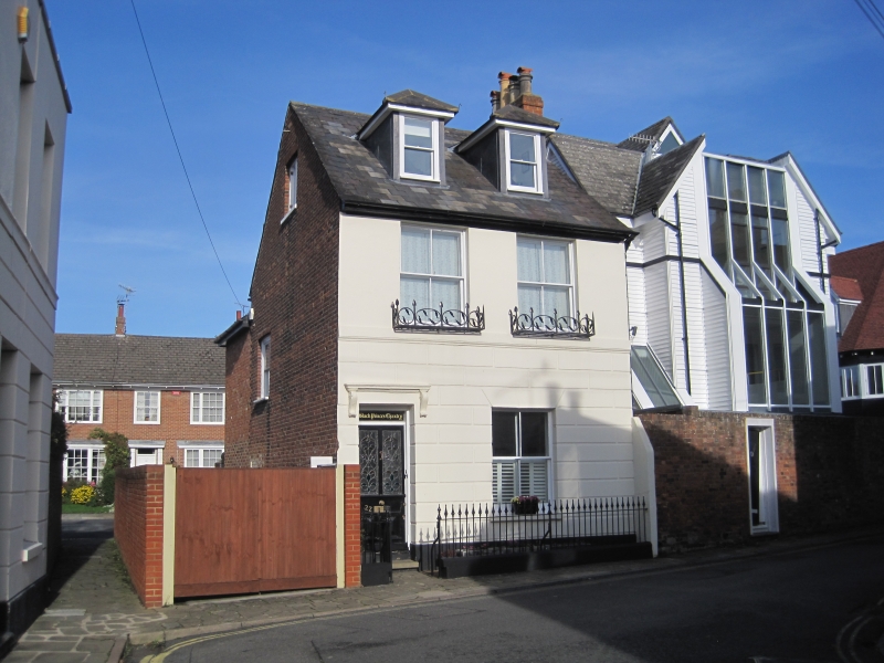
1.
944
KING STREET
(North West Side)
No 22
(Black Princes Chantry)
TR 1458 SE 2/524
II GV
2.
Mid C19. 2 storeys stuccoed. Ground floor rusticated. Slate roof. 2 sashes
with verticals only. Left side doorcase has console brackets above.
Simple recessed doorcase.
Listing NGR: TR1498358143
External links are from the relevant listing authority and, where applicable, Wikidata. Wikidata IDs may be related buildings as well as this specific building. If you want to add or update a link, you will need to do so by editing the Wikidata entry.


Other nearby listed buildings
