Approximate Location Map
Large Map »
Latitude: 51.442 / 51°26'31"N
Longitude: 0.7509 / 0°45'3"E
OS Eastings: 591274
OS Northings: 175034
OS Grid: TQ912750
Mapcode National: GBR RS1.JNL
Mapcode Global: VHKJ6.Y0TW
Plus Code: 9F32CQR2+Q9
Entry Name: 41, High Street
Listing Date: 12 March 1976
Grade: II
Source: Historic England
Source ID: 1273518
English Heritage Legacy ID: 444604
ID on this website: 101273518
Location: Blue Town, Swale, Kent, ME12
County: Kent
District: Swale
Electoral Ward/Division: Sheerness
Parish: Sheerness
Built-Up Area: Sheerness
Traditional County: Kent
Lieutenancy Area (Ceremonial County): Kent
Tagged with: Building
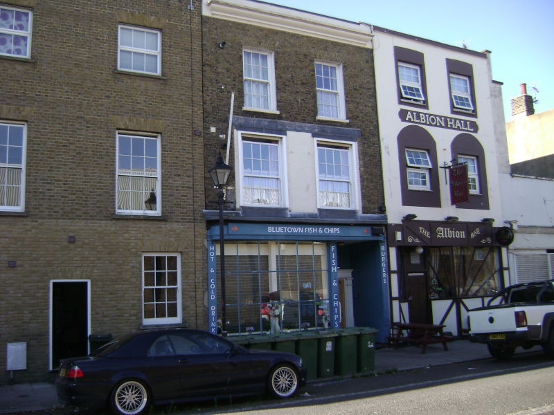
HIGH STREET
1.
5282
(South Side)
Blue Town, Sheerness
No 41
TQ 9175 SW 2/16 12.3.76.
II GV
2.
Early C19. 3 storeys buff brick. Plaster cornice. 2 sashes to 2nd floor,
2 bows to lst floor and C19 shop window to ground floor.
Listing NGR: TQ9127475034
External links are from the relevant listing authority and, where applicable, Wikidata. Wikidata IDs may be related buildings as well as this specific building. If you want to add or update a link, you will need to do so by editing the Wikidata entry.


Other nearby listed buildings
