Approximate Location Map
Large Map »
Latitude: 51.4603 / 51°27'37"N
Longitude: -2.5893 / 2°35'21"W
OS Eastings: 359156
OS Northings: 173643
OS Grid: ST591736
Mapcode National: GBR C9H.CC
Mapcode Global: VH88N.2KHD
Plus Code: 9C3VFC66+47
Entry Name: Number 21 and Attached Area Railings
Listing Date: 6 September 1974
Last Amended: 30 December 1994
Grade: II
Source: Historic England
Source ID: 1279517
English Heritage Legacy ID: 379486
ID on this website: 101279517
Location: Kingsdown, Bristol, BS2
County: City of Bristol
Electoral Ward/Division: Central
Parish: Non Civil Parish
Built-Up Area: Bristol
Traditional County: Gloucestershire
Lieutenancy Area (Ceremonial County): Bristol
Church of England Parish: Bristol St Paul's
Church of England Diocese: Bristol
Tagged with: Building
BRISTOL
ST5973NW CUMBERLAND STREET, St Paul
901-1/6/1891 (North side)
06/09/74 No.21
and attached area railings
(Formerly Listed as:
CUMBERLAND STREET
(North side)
No.21)
GV II
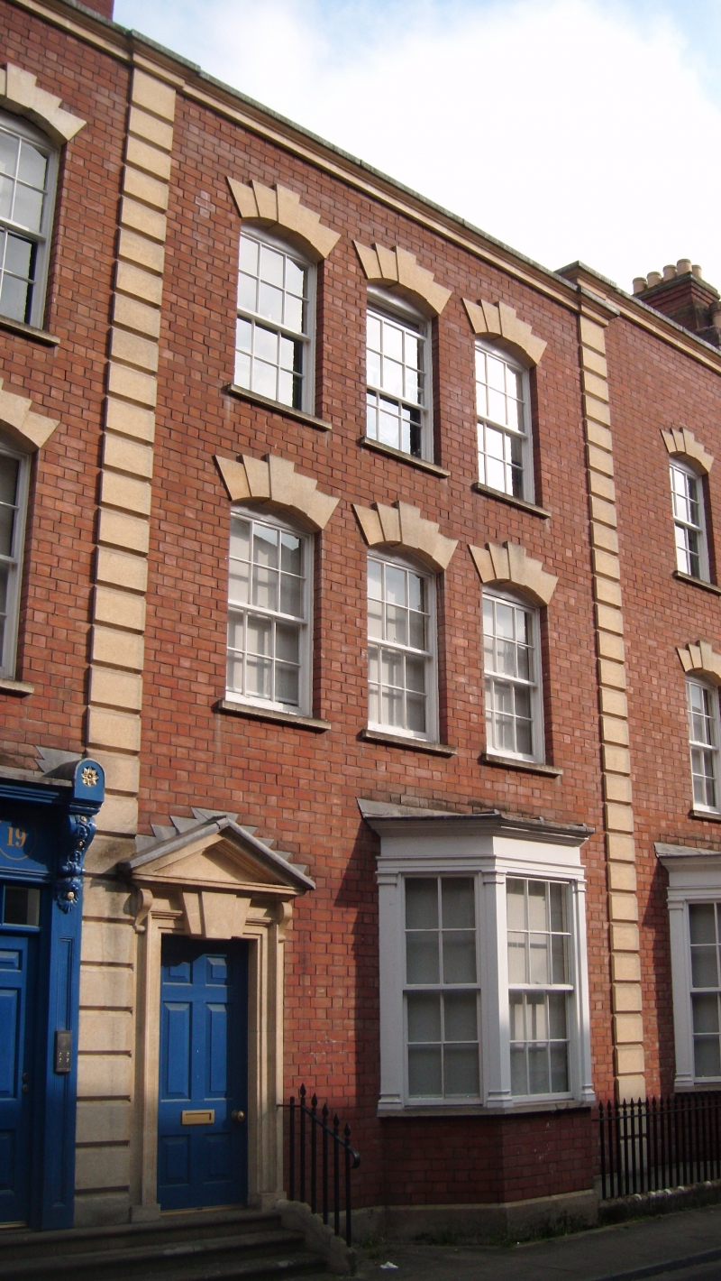
Attached house, now office. c1770, restored c1989. Brick with
limestone dressings, party wall stacks and a pantile roof.
Double-depth plan. Mid Georgian style.
3 storeys; 3-window range. Rusticated quoin strips to a
moulded parapet coping. Left-hand doorway has architrave with
a large split key and brackets to a pediment, and a 6-panel
door. Canted timber bay has pilaster jambs and a cornice;
segmental-arched heads with 5 stepped voussoirs, to 6/6-pane
sashes. INTERIOR: reported as having some original features
including panelling.
SUBSIDIARY FEATURES: attached spear-headed steel front area
railings.
Completely rebuilt c1980 to the original design, and forming,
with the neighbouring listed buildings, a fairly complete C18
street.
Listing NGR: ST5915673643
External links are from the relevant listing authority and, where applicable, Wikidata. Wikidata IDs may be related buildings as well as this specific building. If you want to add or update a link, you will need to do so by editing the Wikidata entry.


Other nearby listed buildings
